ETV Bharat / opinion

New China 'standard map' reflects Beijing’s defiance of UNCLOS

Though there is nothing new about the new “standard map” released by China as far as Indian territory is concerned, what is different this time is the Nine-Dash Line in South China being shown as Chinese territory, an expert explains to ETV Bharat’s Aroonim Bhuyan.

The new “standard map” released by China is nothing new as far as India’s border disputes with its northern neighbour are concerned but what will raise hackles internationally is Beijing’s attempt to send the message that it gives two hoots about the United Nations Convention of the Law of the Sea (UNCLOS).
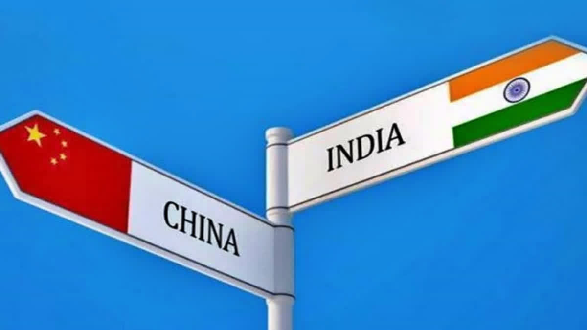
New China 'standard map' reflects Beijing’s defiance of UNCLOS (Representational picture)
author img

By ETV Bharat English Team

Published : Aug 29, 2023, 5:16 PM IST

New Delhi: The new “standard map” released by China is nothing new as far as India’s border disputes with its northern neighbour are concerned but what will raise hackles internationally is Beijing’s attempt to send the message that it gives two hoots about the United Nations Convention of the Law of the Sea (UNCLOS).

As usual, the map showed India’s Arunachal Pradesh, claimed by China as South Tibet, and Akshai Chin occupied by the dragon nation since the 1962 war as its territory. The map also showed Taiwan and the disputed South China Sea as parts of China’s territory.

“The 2023 edition of China's standard map was officially released on Monday and launched on the website of the standard map service hosted by the Ministry of Natural Resources,” state-run Global Times said in a post on X, formerly known as Twitter. “This map is compiled based on the drawing method of the national boundaries of China and various countries in the world,” the post stated.

There is nothing new about China’s new “standard map” as far as India’s territory is concerned, according to BR Deepak, Professor of Chinese and China Studies at the Centre of Chinese and Southeast Asian Studies, Jawaharlal Nehru University, “Since 1954, China has been showing Arunachal Pradesh as part of its territory in its official maps,” Deepak told ETV Bharat. “Similarly, India too has been showing Akshai Chin as part of its territory in its official maps.”

Aksai Chin is an arid region divided between India and China. It constitutes the easternmost portion of the larger Kashmir region that has been the subject of a dispute between India and China since 1959. It is claimed by India as part of its Leh district of the union territory of Ladakh. “However, what is different this time is that the Nine-Dash Line in South China Sea has been shown as being a part and parcel of China,” Deepak said. “What Beijing is trying to show is that it does not care about the UNCLOS.”

Adopted in 1982, UNCLOS lays down a comprehensive regime of law and order in the world's oceans and seas establishing rules governing all uses of the oceans and their resources. China, however, has been violating this convention by getting into territorial disputes with Southeast Asian nations in the South China Sea. The Nine-Dash Line is a case in point.

Also read: 'China has no claim on Arunachal Pradesh': Congress MP Manish Tewari on China's new map

“Earlier, the Nine-Dash Line was shown in a separate corner in official Chinese maps,” Deepak said. “But this time, that region is being shown as a part of China." The Nine-Dash Line is a set of line segments on various maps that accompanied the claims of China and Taiwan in the South China Sea. The contested area includes the Paracel Islands, the Spratly Islands, the Pratas Island and the Vereker Banks, the Macclesfield Bank, and the Scarborough Shoal. Certain places have undergone land reclamation by China, Taiwan, and Vietnam.

Deepak explained that China is claiming territories that lie within 200 nautical miles of Southeast Asian nations. Beyond 200 nautical miles of the coast, international waters start. Vietnam, with which India shares a Comprehensive Strategic Partnership, occupies between 49 and 51 outposts spread across 27 features in the South China Sea, according to the Asia Maritime Transparency Initiative.

These include facilities built on 21 rocks and reefs in the Spratly Islands, along with 14 isolated platforms known as “economic, scientific, and technological service stations” on six underwater banks to the southeast that Hanoi does not consider part of the disputed island chain, Vietnam has reclaimed new land at eight of the 10 rocks it occupies, and built out many of its smaller outposts on submerged reefs and banks

And this is where India’s interests in South China come in conflict with China’s new “standard map”. “India has been exploring for oil and gas in the South China Sea in cooperation with Vietnam since the 1980s,” Deepak said. While Beijing has been objecting to India’s presence in the region, New Delhi has maintained that its presence there is only at the invitation of Vietnam. India has time and again reiterated that its presence in the South China Sea is purely for economic reasons.

Other claimants for features in the South China Sea that Beijing has included in its new “standard map” are Taiwan, Brunei, the Philippines and Malaysia. Meanwhile, Tenzin Lekshay, spokesperson of the Central Tibetan Administration, dismissed China’s territorial claims through its new “standard map” as baseless.

“This is not the first time China is doing that. China for the last so many years has been repeatedly showing distorted maps which shows Arunachal Pradesh as a part of China;” Lekshay told ANI news agency. “In fact they used to say that the whole Arunachal is the part of Southern Tibet but this claim is baseless and not based on truth... This is part of sovereign India since Independence, there are Indian people and administration and government."

Also read: Arunachal Pradesh in China map: Sanjay Raut dares Modi for surgical strike on neighbouring country

ETV Bharat Logo

Copyright © 2024 Ushodaya Enterprises Pvt. Ltd., All Rights Reserved.