ETV Bharat / state

Over 500 landslide zones throughout Alakananda valley, says report

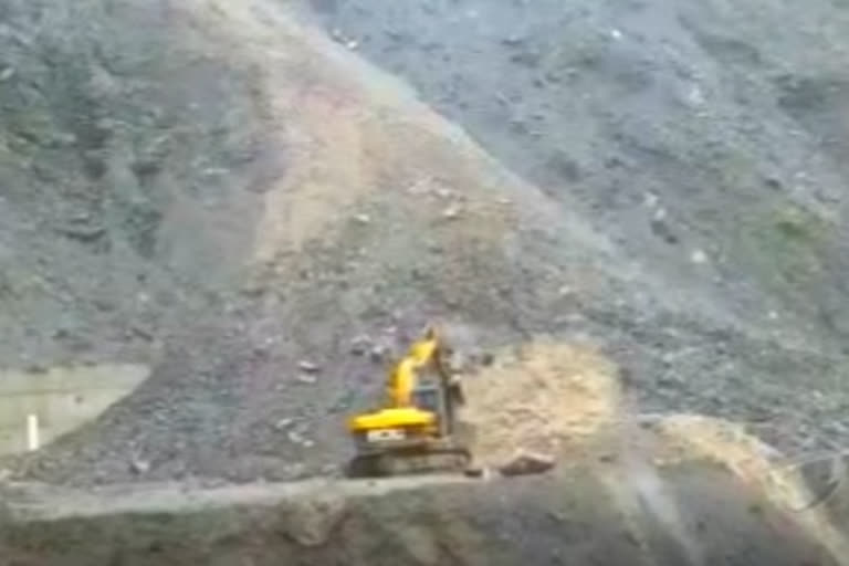
More than 500 landslide zones exist across Uttarakhand's Alakananda valley region, observed a recent survey report by the state's Disaster Mitigation and Management Centre (DMD). Among these, 220 are in Chamoli district, while 290 are in Rudraprayag.

Uttarakhand disaster management report says more than 500 landslide zones throughout Alakananda valley
author img

By

Published : Aug 18, 2022, 10:38 PM IST

Dehradun: In what may increase pressure on researchers and the Uttarakhand state government alike, the report from a recent survey conducted by the Uttarakhand Disaster Mitigation and Management Centre (DMD) observed that more than 500 landslide zones existed in the state's Alakananda valley region. Of this, 220 are in Chamoli district, while 290 are in Rudraprayag.

Uttarakhand disaster management report says more than 500 landslide zones throughout Alakananda valley

Speaking to ETV Bharat, DMD Executive Director Dr. Piyoosh Rautela said the landslide in the upper Alakananda valley increased due to construction work. "We have so far observed that construction or road building activities result in landslides actively taking place near roads," he said.

"A previous survey by us had displayed nearly 300 such zones near the habitations of Chamoli and Rudraprayag. The count might possibly have increased now," Rautela added. The report, significantly, states that the development of said zones occurred after around 440% excess rainfall during the 2013 cloudburst and the subsequent disaster.

Also read: Gangotri highway to remain closed till 5am on Friday due to landslide

Meanwhile, geologist SP Sati said the impact of landslides in the Alakananda valley could further be intensified owing to the river's size. "Alakananda is the largest tributary of the Ganges in Uttarakhand. What is worrisome is that the catchment area is filled with steep hills. There are several massive landslide zones on the way from Rishikesh to Badrinath and Niti valley," he said.

The fears do not seem to end here for Sati, who suspects that a similar situation might be brewing in the Mandakini valley as well. Mandakini is a tributary of the Alakananda and runs for nearly 81 km in the hill state. "If we put our estimation alongside the road, I suspect at least 40% of the area comes under landslide zones.

An IPCC report, too, has detailed that increased rains are going to take place in coming years due to climate change. This will disturb the slopes, which will lead to landslides. The flash floods might very well lead to Kedarnath-like disasters in the future," he said.

For All Latest Updates

TAGGED:

ETV Bharat Logo

Copyright © 2025 Ushodaya Enterprises Pvt. Ltd., All Rights Reserved.