ETV Bharat / science-and-technology

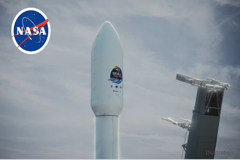
NASA: Sentinel-6 Michael Freilich satellite to collect the most accurate global data on sea level

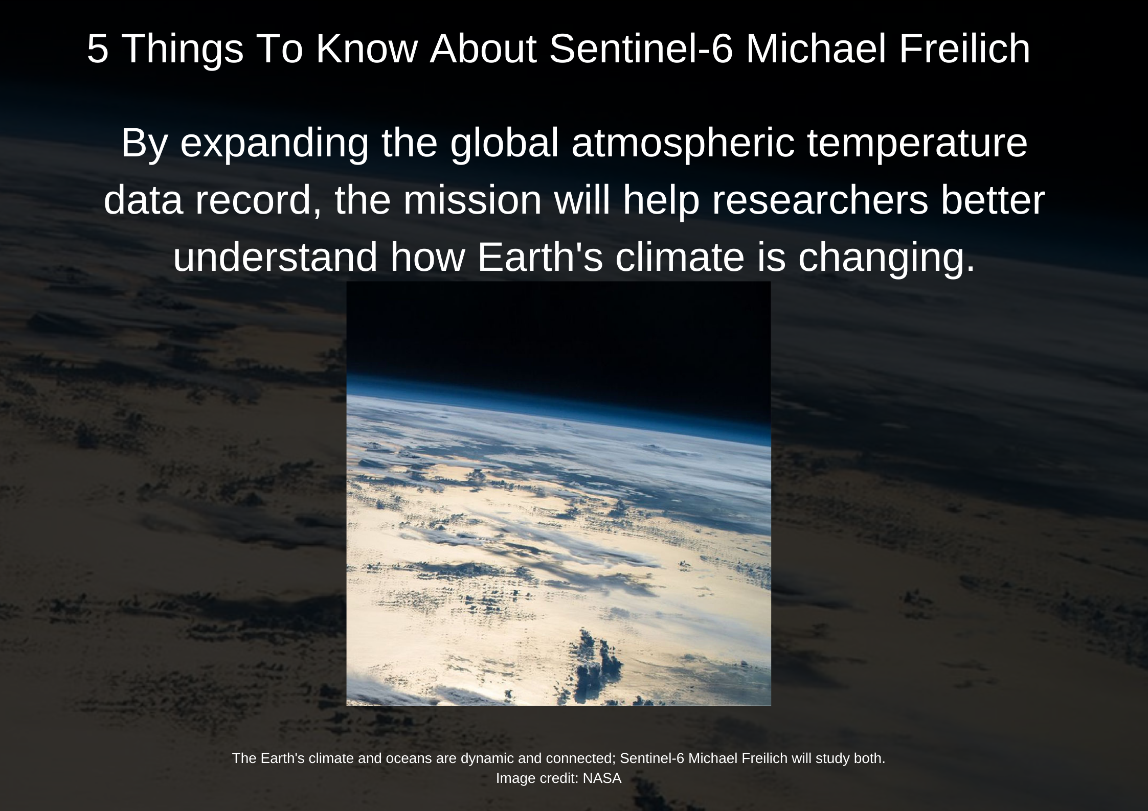
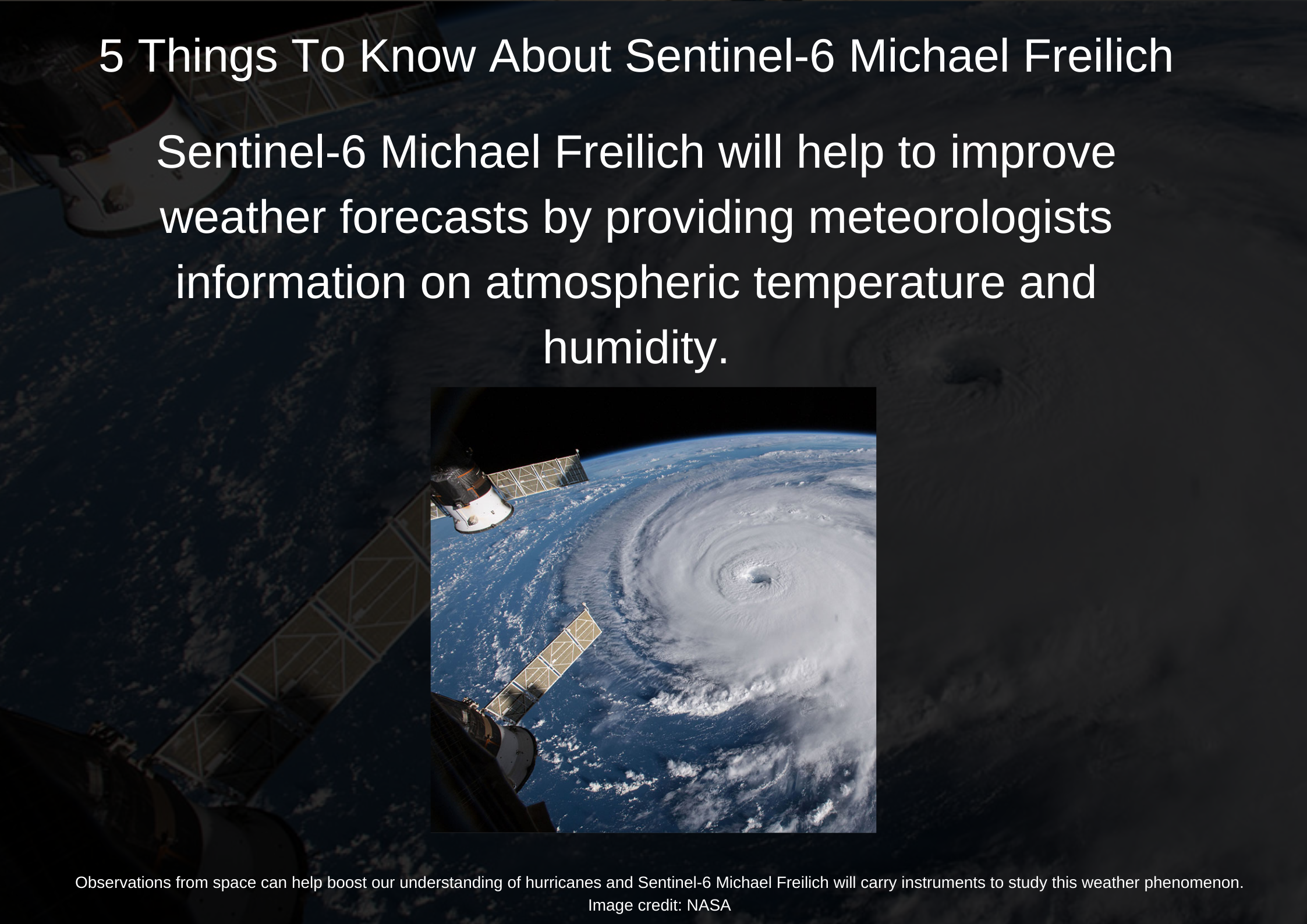
Rising seas are one of the most distinctive and potentially devastating effects of Earth's warming climate. Measuring and Understanding changes in sea level allow assessing the vulnerability of coastal cities and towns to flooding. Yet in another effort of NASA, the Sentinel-6 Michael Freilich satellite will collect the most accurate global data on sea level and how it changes over time. The spacecraft will also collect precise data of atmospheric temperature and humidity that will help improve weather forecasts and climate models.

Sentinel-6 , nasa
NASA: Sentinel-6 Michael Freilich satellite will collect the most accurate global data on sea level
author img

By

Published : Nov 21, 2020, 1:57 PM IST

Updated : Feb 16, 2021, 7:53 PM IST

Washington: Together, the pair is tasked with extending our nearly 30-year-long record of global sea surface height measurements. Instruments aboard the satellites will also provide atmospheric data that will improve weather forecasts, climate models, and hurricane tracking," NASA said in a statement.

The Sentinel-6/Jason-CS (Continuity of Service) mission consists of two identical satellites that will be launched five years apart. The first spacecraft is Sentinel-6 Michael Freilich, named for the former director of NASA's Earth Science Division, Dr. Michael Freilich. He was a pioneer in oceanography from space and dedicated his career to better understanding the Earth, with the goal of improving the lives of those who call it home.

The US space agency was all set to launch a satellite, Senitel 6 to monitor global sea level on Saturday. Its twin satellite, Sentinel-6B, is slated for liftoff in 2025.

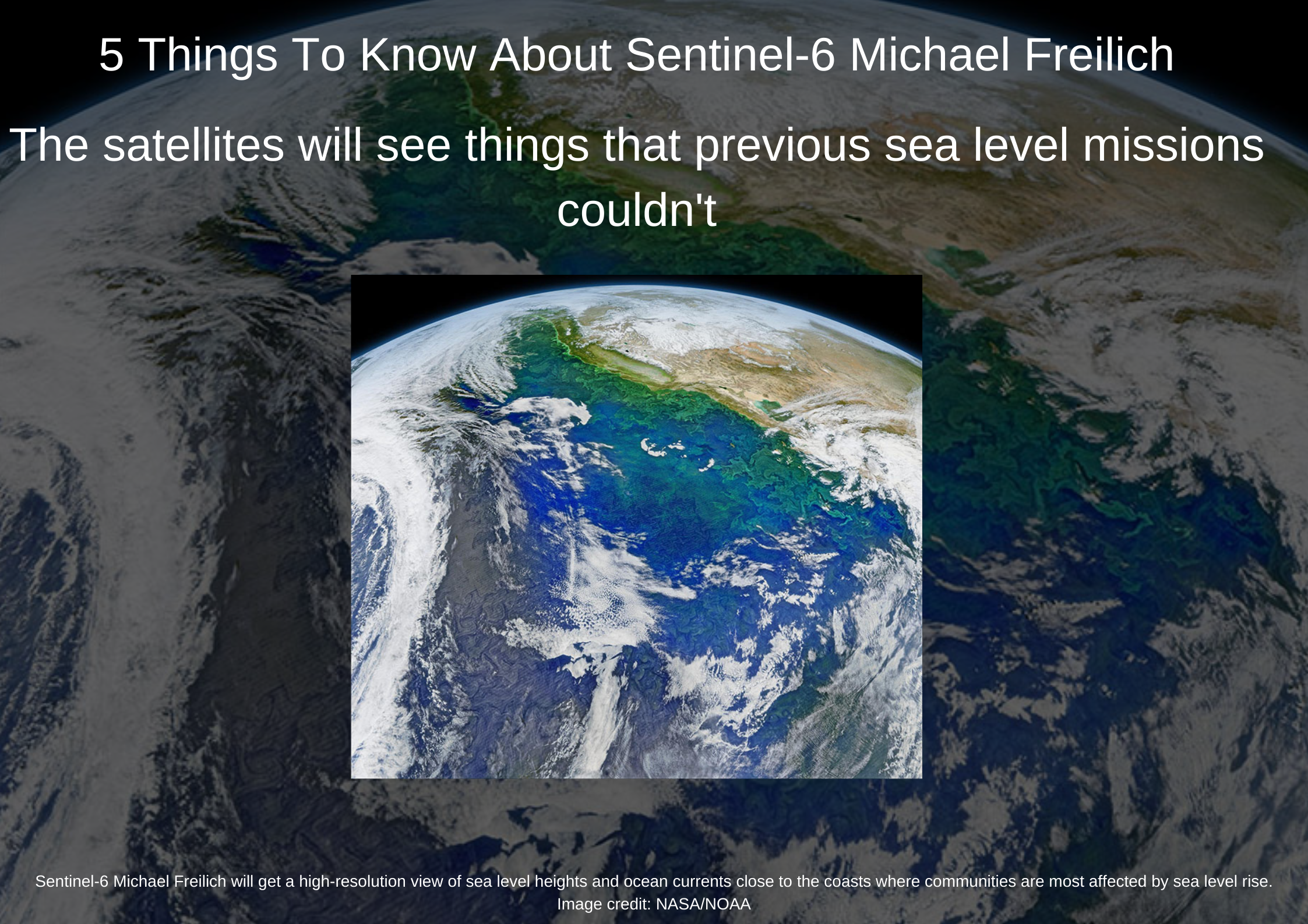
The satellite and its twin will add to a long-term sea-level dataset that's become the gold standard for climate studies from space.
Sentinel-6 , nasa
NASA: Sentinel-6 Michael Freilich satellite will collect the most accurate global data on sea level. Courtesy, NASA
Sentinel-6 , nasa
NASA: Sentinel-6 Michael Freilich satellite will collect the most accurate global data on sea level. Courtesy, NASA
Sentinel-6 , nasa
NASA: Sentinel-6 Michael Freilich satellite will collect the most accurate global data on sea level. Courtesy, NASA
Sentinel-6 , nasa
NASA: Sentinel-6 Michael Freilich satellite will collect the most accurate global data on sea level. Courtesy, NASA
Sentinel-6 , nasa
NASA: Sentinel-6 Michael Freilich satellite will collect the most accurate global data on sea level. Courtesy, NASA

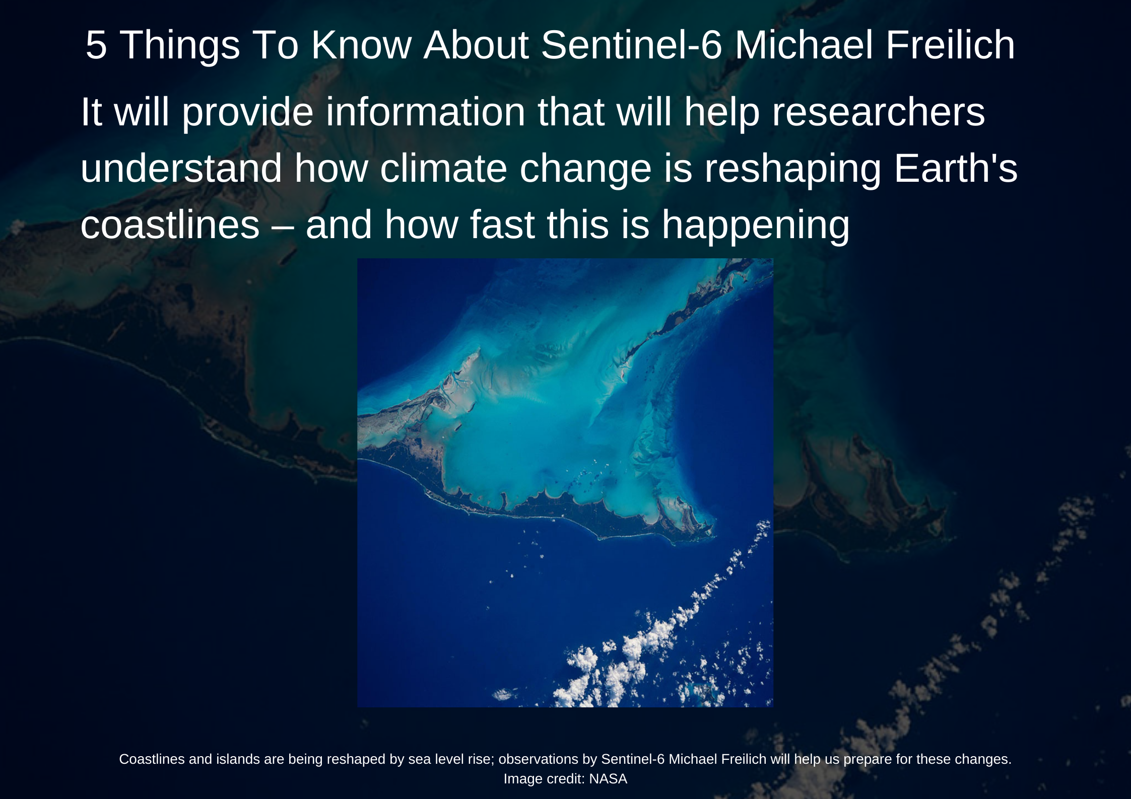
The global sea level is rising approximately 0.13 inches (3.3 millimeters) a year. That's 30 percent more than when NASA launched its first satellite mission to measure ocean heights in 1992.

"We're united by this big goal," said Nadya Vinogradova Shiffer, the NASA program manager who oversees the team. "Sea level is impacted by these different factors that one discipline doesn't cover - so we've got to bring in experts to approach it from all angles."

Also Read: COVID-related Pollution Levels revealed by NASA

(Inputs from Agency+NASA)

Washington: Together, the pair is tasked with extending our nearly 30-year-long record of global sea surface height measurements. Instruments aboard the satellites will also provide atmospheric data that will improve weather forecasts, climate models, and hurricane tracking," NASA said in a statement.

The Sentinel-6/Jason-CS (Continuity of Service) mission consists of two identical satellites that will be launched five years apart. The first spacecraft is Sentinel-6 Michael Freilich, named for the former director of NASA's Earth Science Division, Dr. Michael Freilich. He was a pioneer in oceanography from space and dedicated his career to better understanding the Earth, with the goal of improving the lives of those who call it home.

The US space agency was all set to launch a satellite, Senitel 6 to monitor global sea level on Saturday. Its twin satellite, Sentinel-6B, is slated for liftoff in 2025.

The satellite and its twin will add to a long-term sea-level dataset that's become the gold standard for climate studies from space.

Sentinel-6 , nasa
NASA: Sentinel-6 Michael Freilich satellite will collect the most accurate global data on sea level. Courtesy, NASA
Sentinel-6 , nasa
NASA: Sentinel-6 Michael Freilich satellite will collect the most accurate global data on sea level. Courtesy, NASA
Sentinel-6 , nasa
NASA: Sentinel-6 Michael Freilich satellite will collect the most accurate global data on sea level. Courtesy, NASA
Sentinel-6 , nasa
NASA: Sentinel-6 Michael Freilich satellite will collect the most accurate global data on sea level. Courtesy, NASA
Sentinel-6 , nasa
NASA: Sentinel-6 Michael Freilich satellite will collect the most accurate global data on sea level. Courtesy, NASA

The global sea level is rising approximately 0.13 inches (3.3 millimeters) a year. That's 30 percent more than when NASA launched its first satellite mission to measure ocean heights in 1992.

"We're united by this big goal," said Nadya Vinogradova Shiffer, the NASA program manager who oversees the team. "Sea level is impacted by these different factors that one discipline doesn't cover - so we've got to bring in experts to approach it from all angles."

Also Read: COVID-related Pollution Levels revealed by NASA

(Inputs from Agency+NASA)
Last Updated : Feb 16, 2021, 7:53 PM IST
ETV Bharat Logo

Copyright © 2025 Ushodaya Enterprises Pvt. Ltd., All Rights Reserved.