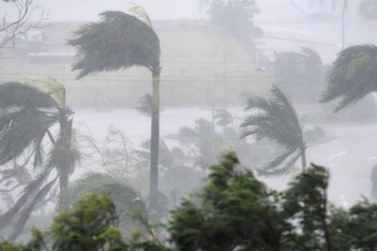
Bhubaneswar: The low-pressure area formed over the east-central Bay of Bengal and its neighbourhood under the influence of Wednesday’s cyclonic circulation is likely to induce heavy rainfall in several districts for the next three days.
The India Meteorological Department (IMD) on Thursday stated that the system will move in the west-northwest direction in the next 24 hours, it added. However, there will be no cyclone. Director-General of IMD in Delhi, Mrutyunjay Mohapatra, said, “As predicted there will be no cyclone and the low-pressure area formed as a result of cyclonic formation over the Bay of Bengal will move towards South Odisha and North Andhra Pradesh coast by October 15.”
“Under its influence light to heavy rains are likely to occur in several parts of Odisha till October 17. Coastal Odisha is likely to get rains from Thursday and it will gradually expand to the interior Odisha,” Mohapatra added.
The system will cross Odisha and Andhra coast as a low-pressure area but there is no indication of the cyclone. The regional centre of the India Meteorological Department (IMD) has forecast light to moderate rain accompanied by thunder and lighting for 21 districts of Odisha till 6 pm on Thursday.
The weather condition will prevail in Mayurbhanj, Keonjhar, Jajpur, Bhadrak, Balasore, Cuttack (including Cuttack city), Jagatsinghput, Kendrapada, Khurda (including Bhubaneswar), Puri, Ganjam and Gajapati, Koraput, Malkangiri, Rayagada, Nayagarh, Kandhamal, Boudh, Deogarh, Angul, Dhenkanal and Sundargarh within next three hours. People are advised to keep a watch on the weather and accordingly move to safer places to protect from lightning strikes.
Also Read: Deep depression intensifies into Cyclone Shaheen; to move away from Indian coast: IMD


