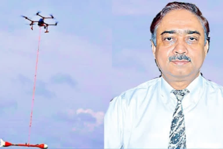
Hyderabad: The National Geophysical Research Institute (NGRI) has developed a new technology that facilitates geophysical exploration. It came up with a drone-based magnetic exploration system for mineral exploration, geological structure delineation and mapping of basement topography. The entire design to development workflow was carried out by NGRI itself. Dr V M Tiwari, Director, CSIR-NGRI, said that the technology would save time and expedite research in remote areas. On the occasion of the institute’s Diamond Jubilee on October 11, here is Eenadu’s interview with Dr Tiwari
To what extent is technology being employed in geophysical research?
Technology comes handy in locating groundwater, exploring minerals and hydrocarbons and detecting seismic zones. We carry out magnetic surveys for several applications. Initially, researchers manually located minerals and groundwater. A few years ago, we conducted surveys using a magnetometer towed behind a helicopter. It was an expensive and time-consuming process. So, NGRI developed a drone or unmanned aerial vehicle (UAV) based magnetic exploration system. This is the first of its kind in India. We surveyed Yacharam (a town in Hyderabad suburbs) using UAV-magnetometer and the results were accurate. Conducting geophysical exploration studies in remote hilly and coastal areas becomes easier with this technology.
How are the six-decade seismic studies coming along?
There is still a lot to be concluded about earthquakes. At present, we can only identify seismic zones and the intensity of tremors. We are yet to develop a technology that can predict earthquakes. GPS, Artificial Intelligence and Machine Learning are playing an important role in seismological research.
Water reserves are fast depleting in the country. During your research, have you come up with any strategies to tackle the water crisis?
The quickest and most effective way is artificially recharging the depleted groundwater. NGRI has helped raise groundwater levels in Choutuppal through this process. It is imperative to learn where water from the surface percolates into the ground or if there is hard rocky terrain, etc. Efficient rainwater harvesting can be achieved only when all these factors are studied. If we know how much water percolates into the ground and reaches aquifers, we can assess the water requirement for various crops.
Is your institute doing any research in Andhra Pradesh and Telangana?
We have been working with the concerned ministry in setting up a nuclear power plant in Kovvada, Andhra Pradesh. Currently, we have no projects in Telangana. We are not a part of Amrabad’s uranium exploration project. We are inspecting exploration works in Odisha, Madhya Pradesh, Uttar Pradesh and Jharkhand.
What are your upcoming projects?
As a part of Atmanirbhar Bharat, we have focused on developing equipment and technology required for exploring natural resources in the country.
How is geophysics as a career for young aspirants?
The field is full of opportunities. Few years ago, an Integrated Geophysics Engineering student at IIT Kharagpur bagged the highest package in campus placements. There are several career options abroad too. Oil, gas, petroleum and coal industries offer many work opportunities. In these sectors, startups are there at every level of the value chain.
Also Read: IIT Dharwad students develop app to detect fake news


