New Delhi: Anyone drawing the map of India is familiar with the two big fish-tail shaped contours in the northeastern corner of Arunachal Pradesh bordering China. But the Lok Sabha MP from East Arunachal says the map is wrong as the two fish-tail shaped areas are inside the McMahon Line but in India, these areas are drawn outside the Indian boundary. And that it is entirely India’s fault.
And what is interesting is that Indian army soldiers and Indo-Tibetan Border Police (ITBP) troops man the Border outposts (BOP) that are located in the two zones that lie outside the boundary of the India map but inside India according to the McMahon Line.
The BOPs manned by Indian troops in the two areas that are shown to be in China in the India map are Hadigra, Dakhru pass, Galai Takru pass and the Tatu pass.
It was the British who drew the line dividing India and China which is called the McMahon Line. It was named after Arthur Henry McMahon, a former British India foreign secretary (1911-1914), and drawn on the basis of alignment with the mountain crest in the region in accordance with the watershed principle.
Over time there has been a tacit acceptance by both India and China of the McMahon Line as the de facto boundary between the two Asian giants.
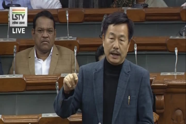
“It is the right time to redraw the Indian map in the state of Arunachal Pradesh in the Dibang Valley district and the Anjaw district,” says Tapir Gao, the MP who belongs to the ruling BJP. Gao had raised the issue during the Zero Hour on Wednesday.
-
Zero hour - I demanded redrawing of our Indian map in context to FT-1(fish tail-1) in Angie Valley in Dibang Valley ; FT-2 Chaklagam in Kajap&Kayo valley of Anjaw, Arunachal Pradesh; as all our Army & ITBP BOPs are outside the carved out territory which are sensitive for India. pic.twitter.com/ZZ3isvSz2X
— Tapir Gao (@TapirGao) February 5, 2020 " class="align-text-top noRightClick twitterSection" data="
">Zero hour - I demanded redrawing of our Indian map in context to FT-1(fish tail-1) in Angie Valley in Dibang Valley ; FT-2 Chaklagam in Kajap&Kayo valley of Anjaw, Arunachal Pradesh; as all our Army & ITBP BOPs are outside the carved out territory which are sensitive for India. pic.twitter.com/ZZ3isvSz2X
— Tapir Gao (@TapirGao) February 5, 2020Zero hour - I demanded redrawing of our Indian map in context to FT-1(fish tail-1) in Angie Valley in Dibang Valley ; FT-2 Chaklagam in Kajap&Kayo valley of Anjaw, Arunachal Pradesh; as all our Army & ITBP BOPs are outside the carved out territory which are sensitive for India. pic.twitter.com/ZZ3isvSz2X
— Tapir Gao (@TapirGao) February 5, 2020
Gao says the Chinese point out at the Indian maps and say these two areas belong to China as even the Indian maps say so.
Very appropriately the two contours are named Fish-Tail 1 and Fish-Tail 2. The Angie valley lies in the Fish-Tail 1 area and is about 102 km in length while the aerial distance from east to west in Fish-Tail 2 is more than 150 km.
These high altitudes and mountainous areas are very thinly populated by the Mishmi tribal community whose members are found on both sides of the border who are primarily hunters, food gatherers and herb collectors.
In totality, the India-China border is about 4,000 km long. Five states—Arunachal Pradesh (1,126 km), Uttarakhand (345 km), Jammu and Kashmir (1,597 km), Himachal Pradesh (260 km) and Sikkim (198 km)—share the international border with China.
ALSO READ: In 2020, it will rain ‘accords’ with insurgent outfits in Northeast India


