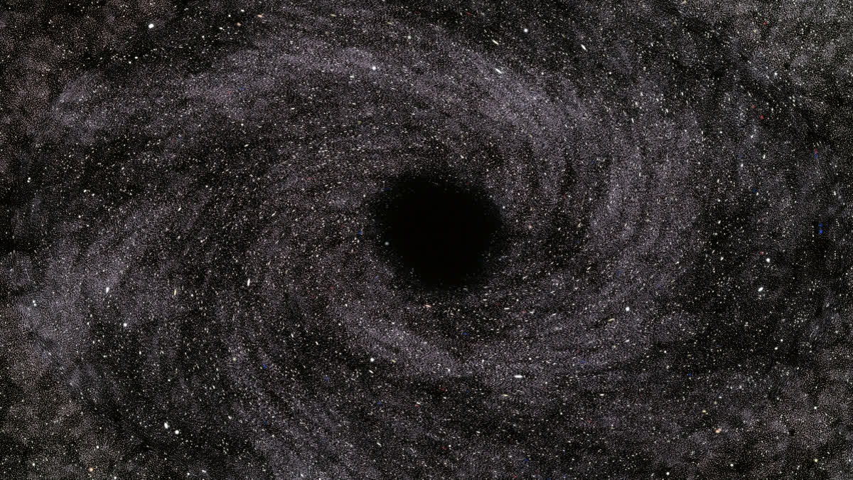
New Delhi: Scientists have mapped about 1.3 million of active supermassive black holes in three dimensions, depicting the "largest-ever volume of the universe".
As the gravitational pull of these black holes living at the centres of galaxies "gobbles up" nearby gas, the process generates extremely bright disks - called quasars - and sometimes jets of light that telescopes can observe. The team of scientists, led by New York University in the US, said that the map could help understand dark matter better, as the galaxies hosting these quasars are surrounded by "massive halos" of the invisible matter exerting gravity, but not colliding with particles.
As the light of these quasars reach us, it is bent by the intervening web of dark matter - the same web mapped out by the quasars. Thus, by comparing the map with the oldest light in our cosmos, we can measure how strongly matter clumps together, the researchers explained. The quasar map is described in a paper in The Astrophysical Journal.
"We were able to make measurements of how matter clusters together in the early universe that are as precise as some of those from major international survey projects - which is quite remarkable given that we got our data as a 'bonus' from the Milky Way-focused Gaia project," said lead author Kate Storey-Fisher from the Department of Physics, New York University.
The European Space Agency's Gaia space telescope provided the data for the map. While mainly focussed on mapping the stars in our galaxy - the Milky Way, the researchers explained that Gaia also "inadvertently" spots objects outside the Milky Way, such as quasars and other galaxies.
The team also said that the locations of distant quasars, along with their host galaxies, could be used to understand better how the cosmos expanded over time. The furthest quasar they mapped shone bright when the universe was only 1.5 billion years old, currently estimated to be roughly 13.7 billion years old.
For the map, Gaia's third data release containing 6.6 million quasar candidates was used, along with data from NASA's Wide-Field Infrared Survey Explorer and the Sloan Digital Sky Survey.
The team removed contaminants such as stars and galaxies from Gaia's original dataset and more precisely pinpointed the distances to the quasars. They also created a map showing where dust, stars and other "nuisances" are expected to block our view of certain quasars, which they said was critical for interpreting the quasar map.
The quasar map or "catalogue" is already in use and "spurring" new science, with researchers around the globe using it in their investigations, according to the team.


