ETV Bharat / bharat

Cyclone Dana Likely To Hit Odisha: Red Alert Issued For Four Districts

Cyclone ‘Dana’ is barreling towards Odisha coast, expected to bring intense winds and rains by October 24. IMD has issued red alerts for several districts

author img

By ETV Bharat English Team

Published : 3 hours ago

Cyclone Dana Likely To Hit Odisha: Red Alerts Issued For Four Districts
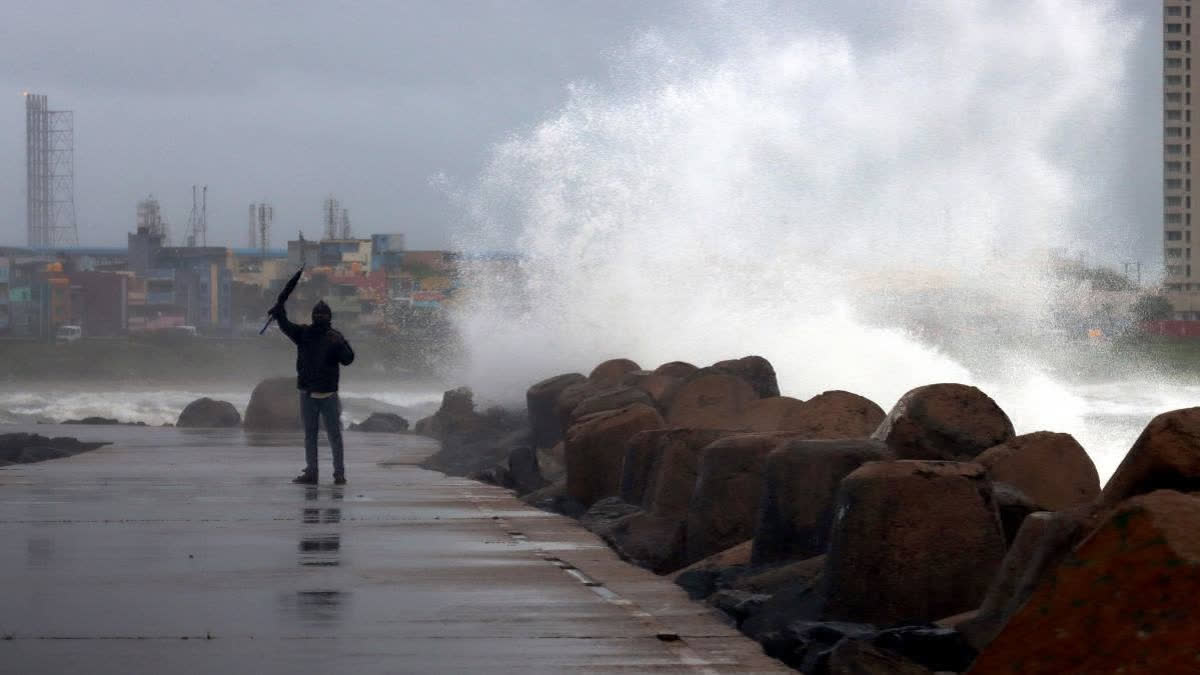
Representational image (ETV Bharat)

Bhubaneswar: The Indian Meteorological Department (IMD) has warned that Cyclone ‘Dana’ is likely to make landfall along the Odisha-West Bengal coast between October 23 and 24, bringing with it heavy rainfall and high winds. Formed over the central Andaman Sea, the cyclone is expected to intensify as it moves west-northwest towards the East Central Bay of Bengal.

The IMD has issued a red alert for four districts—Puri, Khurda, Ganjam, and Jagatsinghpur—where winds are expected to blow at speeds of 100 to 120 km/h. A heavy rainfall warning has also been issued for October 23-27, with districts in coastal and interior Odisha expected to experience significant rainfall and potential flash floods.

Speaking exclusively to ETV Bharat, the IMD Director General Mrutyunjaya Mohapatra provided crucial updates on the cyclone’s trajectory. He confirmed that the storm may make landfall along the Odisha and West Bengal coasts near the North Bay of Bengal on the morning of October 24. Wind speeds at landfall are expected to reach between 100 and 120 km/h, causing rough seas and turbulent weather. “Rainfall in Odisha will begin from the 23rd and intensify on the 24th and 25th, with 20 to 30 cm of rainfall expected. Pre-cyclone warnings have been issued for the coastal districts,” Mohapatra said.

Weather Forecast

The cyclone is projected to intensify into a low-pressure area by the morning of October 22 and a cyclonic storm by October 23. It will then track northwest, making landfall near the Odisha-West Bengal border. The IMD forecasts that the cyclone could cause extremely heavy rainfall on October 24-25, particularly in the districts of Puri, Khurda, Ganjam, and Jagatsinghpur, where a red alert has been issued. Neighboring districts like Kendrapada, Cuttack, Nayagarh, Kandhamal, and Gajapati are under orange alert for heavy to very heavy rain.

In addition, a yellow warning has been issued for districts including Balasore, Bhadrak, Mayurbhanj, Keonjhar, and Malkangiri. The IMD warns of potential flooding in low-lying areas, waterlogging in urban areas, and reduced visibility leading to traffic congestion.

Government Preparedness

In response to the IMD’s forecast, the Odisha government has taken several precautionary measures. Chief Secretary Manoj Ahuja held a high-level meeting with district collectors and senior officials on October 20, urging all concerned departments to remain on high alert. Cyclone shelters have been prepared, and evacuation plans are in place for vulnerable populations. Control rooms in affected districts will operate 24/7, and officials have been instructed to ensure adequate drinking water supplies and lighting arrangements at cyclone shelters.

Pregnant women due to deliver in the next two weeks are being shifted to nearby hospitals as a precaution. The government has also issued guidelines to avoid movement in affected areas, especially those prone to landslides and waterlogging. The Odisha Disaster Rapid Action Force (ODRAF), Fire Services, and National Disaster Response Force (NDRF) teams are on standby for immediate deployment, said Special Relief Commissioner Deoranjan Kumar Singh assuring the public not to panic.

Fishermen Warning

A special advisory has been issued by the office of special relief commissioner for fishermen in the coastal districts. Fishermen have been advised not to venture into the sea between October 21 and 26 due to rough sea conditions. Fishermen who are already at sea have been instructed to return to the shore. Strict measures are being taken to ensure compliance with the advisory, and a certificate is required from local authorities confirming that all fishermen have returned from the sea.

In yet another press release issued by the Office of the Special Relief Commissioner on October 20 detailed the government’s preparedness measures. Key points include:

• Continuous vigilance over low-lying areas prone to flooding, with dewatering operations ready in urban zones.

• An advisory for farmers to delay fertilizer and chemical applications in fields and keep livestock in safe areas.

• Coordination with district collectors to assess the need for ODRAF, NDRF, and Fire Services deployment.

• A reminder for the public to remain alert but not panic.

The government has emphasized the importance of staying indoors during the peak of the cyclone and following official advisories to avoid unnecessary travel.

Impact Forecast

The cyclone is expected to cause widespread disruption in affected districts, with possible damage to kuccha (temporary) homes, roads, and agricultural fields. Urban areas may experience significant waterlogging and flash floods, while rural regions may see landslides in hilly areas. There is also a risk of power outages and communication breakdowns in the aftermath of the storm.

Only after the formation of low pressure, the picture will be clear and its direction or course will be clear, said the head of regional centre of the Meteorological Department Dr Manorama Mohanty. The weather department has predicted that there will be 45 to 50 or maximum 65 mm of rain during low pressure and 100 to 120 km wind speed after landfall. Due to the wind speed, the sea will be rough, so fishermen are advised to come back from the sea by Sunday, she added.

ETV Bharat Logo

Copyright © 2024 Ushodaya Enterprises Pvt. Ltd., All Rights Reserved.