ETV Bharat / bharat

Delhi Is Warming Up for a Few Days, But Cold Waves Aren’t Over Yet: Is Winter Making A Comeback?

Experts predict fluctuating temperatures in North India, with rain, snowfall, and a cold wave returning by January 24 due to a western disturbance.

Delhi Is Warming Up for a Few Days, But Cold Waves Aren’t Over Yet: Is Winter Making A Comeback?
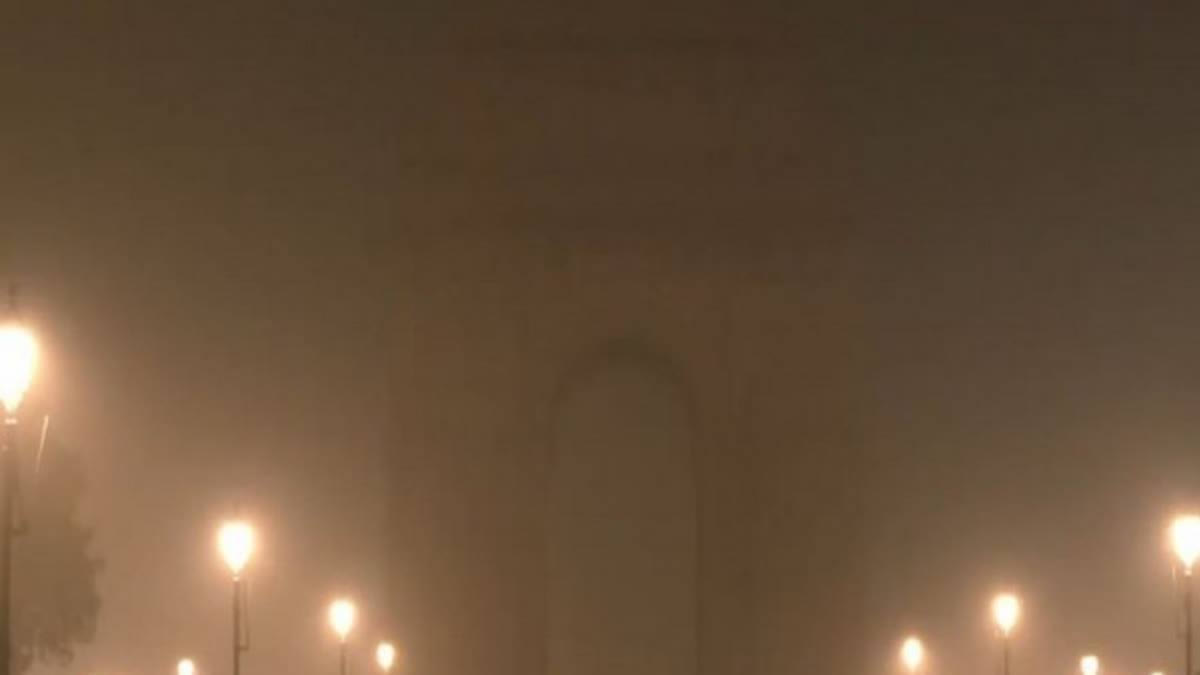
File photo of India Gate in New Delhi (ANI)
author img

By ETV Bharat English Team

Published : Jan 22, 2025, 6:44 PM IST

By Surabhi Gupta

New Delhi: The weather across northwest, central, and eastern India is showing signs of a shift, with temperatures rising steadily over the past few days. While the region has seen relief from the biting cold, an approaching western disturbance promises a mix of rain, snowfall, and fluctuating temperatures in the coming week.

A Change in the Air

According to Skymet Weather, the sunny days and soft winds in northwest India have brought temporary relief from the intense cold, with both minimum and maximum temperatures climbing above seasonal averages. This unusual warmth, which has broken records of the past several years, is set to change as cloud cover and rain re-enter the forecast.

Rain and Snowfall Expected

According to Skymet Weather, temperatures in northwest, central, and eastern India are expected to rise slightly today. Light rain and snowfall are likely in the upper reaches of the Himalayas, while Tamil Nadu may experience light rainfall. A new western disturbance is forecasted to arrive in the western Himalayan region on January 22, bringing light to moderate rain to parts of Punjab, Haryana, Delhi, and northwestern Uttar Pradesh.

Weather expert Mahesh Palawat, Vice-President of Skymet Weather Services, said, "The last two to three days have seen rising temperatures in Delhi-NCR and the surrounding regions. Maximum temperatures are currently 5–6 degrees above normal, while minimum temperatures are 3–4 degrees higher. However, this trend is expected to reverse."

"From January 22 onward, snowfall in Himachal Pradesh and Uttarakhand will intensify, while a cyclonic circulation over northeast Rajasthan will lead to light to moderate rain in parts of Punjab, Haryana, Delhi, western Uttar Pradesh, and Rajasthan. This rainfall will lower maximum temperatures in the region, bringing back a sense of winter chill," Palawat added.

The effect of the western disturbance will persist, causing icy winds from January 24 to 28. These conditions are likely to drive both day and night temperatures down significantly. Additionally, another western disturbance is expected from January 29 to February 4, which will result in further snowfall in the northern mountains.

Winter Isn’t Over Yet

S.N. Mishra, former Director of Climate Services in the Indian Air Force and a climate change expert, highlighted the importance of recent weather patterns. "The current mild weather in Delhi-NCR and the Indo-Gangetic plains is due to western disturbances blocking the flow of cold northwesterly winds. This has led to warmer temperatures."

"However, the hills have received encouraging snowfall this winter, which will replenish glaciers, improve water systems, and benefit agricultural crops like apples. After January 25, another cold wave will sweep across the Indo-Gangetic plains, bringing back the chill and setting the stage for a classic winter experience," Mishra said.

Impact on Air Quality and Transport

Delhi’s air quality remains a significant concern, with the Air Quality Index (AQI) recorded at 264, placing it in the 'poor' category. Certain areas, including Anand Vihar, Rohini, and Bawana, reported AQI levels exceeding 300, breaching the 'very poor' threshold. Moderate fog has further compounded challenges, disrupting transportation services.

What Lies Ahead?

The India Meteorological Department (IMD) has forecast light to moderate rainfall in Delhi from January 22 to 23, with maximum temperatures ranging between 21°C and 24°C. A yellow alert has been issued for thunderstorms and lightning, with predictions of dense fog in the mornings.

With fluctuating weather patterns, Delhi residents are advised to brace for a return of the cold. Between January 24 and 28, temperatures are expected to dip again, accompanied by icy winds. Looking further ahead, another western disturbance could extend wintry conditions into early February.

ETV Bharat Logo

Copyright © 2025 Ushodaya Enterprises Pvt. Ltd., All Rights Reserved.