New Delhi: Foreign Secretary Vikram Misri’s announcement on Monday that India and China have agreed on border patrolling has sparked speculations about whether the four-year-old border conflict between the two nuclear-armed Asian neighbours in eastern Ladakh has finally come to an end.
“Over the last several weeks, Indian and Chinese diplomatic and military negotiators have been in close contact with each other in a variety of forums,” Misri said at a media briefing here ahead of Prime Minister Narendra Modi’s visit to Russia to attend this year’s BRICS (Brazil, Russia, India, China, South Africa) Summit on October 22-23.
“As a result of these discussions, the agreement has arrived at patrolling arrangements along the Line of Actual Control (LAC) in the India-China border areas, leading to disengagement and a resolution of the issues that had arisen in these areas in 2020,” he said. “We will be taking the next steps on this.”
Though Misri did not specifically mention the names of places along the border where the two sides have agreed to maintain border patrolling, speculations are rife about whether this covers Depsang and Demchok, two critical points of friction in eastern Ladakh. If the agreement indeed covers these two areas, then one can safely assume that it is a major achievement in solving the border conflict.
Where is Depsang and what is its strategic importance?
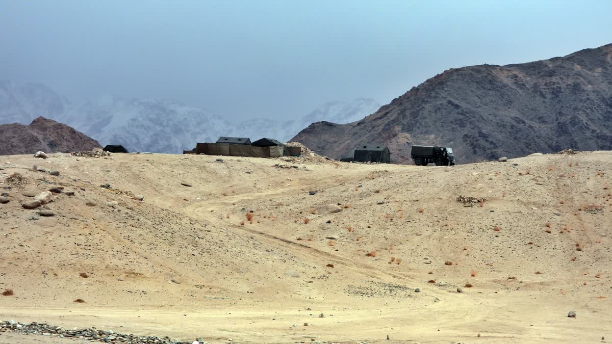
The Depsang Plains, a high-altitude gravelly plain in the northwest portion of the disputed Aksai Chin region of Kashmir, is divided into Indian and Chinese-administered portions by the LAC. India controls the western portion of the plains as part of Ladakh, while the eastern portion is controlled by China and claimed by India. The Line of Control with Pakistan-administered Gilgit-Baltistan is 80 km west of the Depsang Plains, with the Siachen Glacier in between. Ladakh’s traditional trade route to Central Asia passed through the Depsang Plains, with the Karakoram Pass lying directly to its north.
The Depsang Plains are bounded on the north by the valley of the Chip Chap River and on the west by the Shyok River. On the east, they are bounded by low hills of the Lak Tsung range, which separate them from the basin of the Karakash River. In the south, the Depsang Plains proper end at the Depsang La pass, but in common parlance, the Depsang region is taken to include the mountainous region to the south of it, including the “Depsang Bulge”. The latter is a bulge in theoretical Indian territory, housing the upper course of the Burtsa Nala.
The Depsang Plains cover a wide area and are strategically located close to Daulat Beg Oldi (DBO), India’s northernmost military post near the Karakoram Pass. DBO is significant for India due to its proximity to the China-Pakistan Economic Corridor (CPEC), a major project under Beijing’s Belt and Road Initiative (BRI) and its position at a critical junction that could potentially link China and Pakistan militarily.
Depsang has been a site of military tensions since the 1962 Sino-Indian War. In 2013, the area saw a serious incursion by Chinese troops into Indian territory, resulting in a three-week standoff. This was one of the most serious confrontations at the LAC until the Galwan clashes in 2020.
