

New Scientist, UK: The measuring stick was often used in a stilling well, a tube with a small hole placed below the water's surface that dampens movement caused by waves. This surprisingly accurate system remained unchanged in principle – apart from the introduction of automated recording – until microwave radar scanners arrived in the 1960s. These are mounted on coastal structures, such as bridges or breakwaters.
The drawback of these systems is that they only measure sea level relative to the land at that location. Land height may also change due to tectonic activity or movements associated with the end of the last glacial period.
In recent decades, corrections based on statistical models of the ground movement have been used. Nowadays, though, GPS detects changes in the height of the land to offset against nearby sea level measurements.
It was only in the 1990s that satellites began to measure global sea level independently of the land. One current example is the European and NASA Jason-3 satellite, which scans the whole planet (except the poles) every 10 days and uses this information to calculate the mean sea level. A similar joint mission called Sentinel-6 will begin in late 2020.
Satellites have been tracking the annual rise in sea level associated with global warming. From 1993 to 2018, it averaged 3.2 millimetres per year, but in the last five years of that period, it increased by 4.8 millimetres per year. Mike Follows, Sutton Coldfield, West Midlands, UK:-
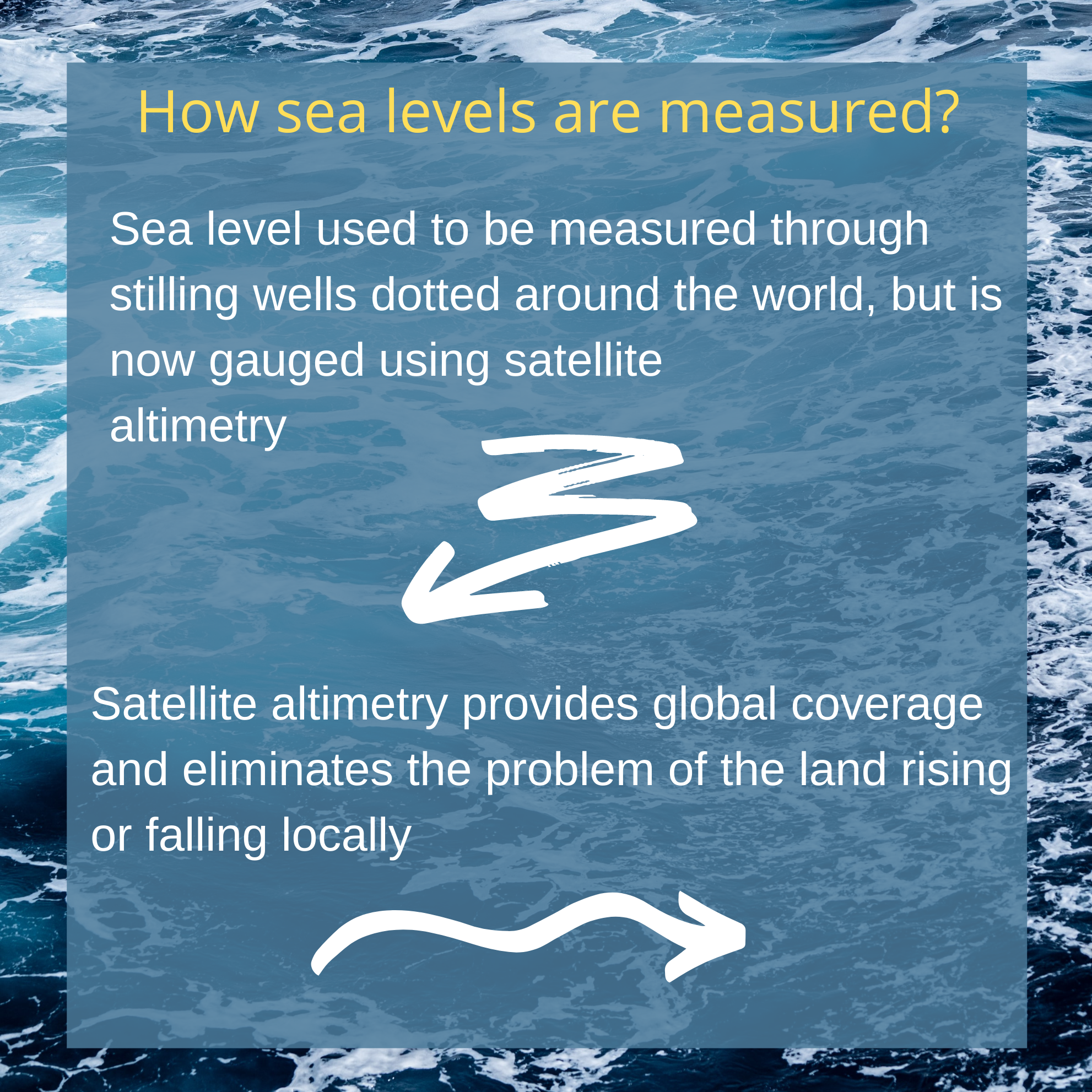
- Sea level used to be measured through stilling wells dotted around the world but is now gauged using satellite altimetry. A radar pulse from a satellite is bounced off Earth's surface, and the time it takes the echo to return to the satellite is then used to infer the distance to the sea surface.
- Satellite altimetry provides global coverage and eliminates the problem of the land rising or falling locally. Some landmasses that were overlain by ice during the most recent glaciation, making them sink, are still rising to their former height in a process called post-glacial or isostatic rebound.
- When the population of a coastal city consumes water from the aquifers that the city is built on, the land can subside, giving the illusion of sea-level rise.
Places, where this has occurred, include Bangkok, Dhaka and Tokyo.
- Bangkok is sinking at a rate of up to 2 centimetres per year. Dhaka, too, is still sinking and the frequency of floods has increased.
- Tokyo subsided by about 2 metres over several decades, but the rate was greatly reduced when regulations restricting the extraction of groundwater were introduced in the 1960s.
(c) 2020 New Scientist Ltd.
Distributed by Tribune Content Agency, LLC
Also Read: AI automatically removes unwanted objects from photos