ETV Bharat / state

Government documents nullify Nepal's claim on Kalapani and Lipulek

The Government of Nepal has recently released a new map, showing Kalapani and Lipulekh as its territory. But in reality, both these areas are an integral part of India as per the land records of the 1962 agreement.

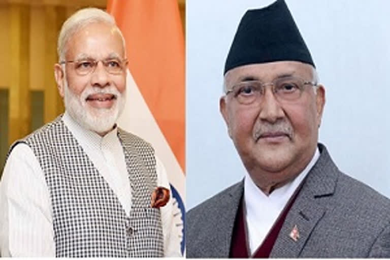
Indian Prime Minister Narendra Modi and Nepal PM KP Sharma Oli (file photo)
author img

By

Published : May 20, 2020, 7:00 PM IST

Updated : May 21, 2020, 4:42 PM IST

Pithoragarh (Uttarakhand): After the construction of the Lipulekh road connecting the China border, the tone of Allied Nepal seems to be changing.

The Government of Nepal has recently released a new map, showing Kalapani and Lipulekh as its territory. But in reality, both these areas are an integral part of India.

Both these areas falling under Dharchula tehsil have also been included in the land records of the 1962 agreement.

Government documents nullify Nepal's claim on Kalapani and Lipulek

According to the records, the nine-kilometre area between Kalapani and Nabhidhang are in the limit of Garbayang village. Comprising of about 5,000 streams, there are 704 farm plots.

The area between Nabhidhang and Lipulekh is part of the Gunji village panchayat. The area is also mentioned as forest land in the land records of Gunji panchayat.

Read: Political analysts in Nepal favour diplomatic solution to border row with India

The available records testify that the areas were an integral part of India even before the 1962 land agreement.

According to Dharchula SDM Anil Kumar Shukla, the land of Kalapani and Lipulekh belong to India and are in the name of local residents.

People of border villages are angry over Nepal’s claim

Nepal government’s claim that Lipulekh and Kalapani belong to Nepal have angered people of the border villages.

Former president of Rng Kalyan Sanstha and resident of Gabryang village Krishna Gabryal says that the Mount Api, Tipil Chyakt, Chhire, Shimakal areas also come under the measurement of Gabryals. After the division of the border, the Gabryals had given up the land beyond the Kali river.

What is the border dispute between India and Nepal?

Nepal has been claiming in the past too the territorial rights over India’s Kalapani and Lipulekh which adjoin China and Nepal.

After the Lipulekh road up to the Chinese border was built, the Allied country Nepal changed its tone.

Claiming its right over Kalapani and Lipulekh, demonstrations have begun in Nepal.

Nepal has also set up its Border Out Post at Chhangru without informing India to keep a watch on India’s activities.

Nepal is setting up another Border Out Post in its territory. It is learnt that Nepal is soon going to convert this into a military camp.

Read: Nepal objected to India's road to Lipulekh at someone else's behest: Army Chief

A contingent of 160 soldiers is to be deployed in this camp. This camp is going to be set up 12 km from the international border.

Nepal has issued a new map showing India’s Kalapani and Chhiyalekh as its part.

Which country said what on India-Nepal border dispute?

On Nepal’s claim over Indian territory, Indian Army Chief had said that it seems Nepal is raising the issue of Lipulekh and Kalapani at the bidding of a third party.

Nepal Prime Minister KP Sharma Oli sarcastically remarked saying, 'Simhamev Jayate' (Lion wins).

He asked if India’s national emblem carries 'Simhamev Jayate' instead of 'Satyamev Jayate'.

He said that he had not raised this issue under anyone’s pressure. In a statement, the Chinese external affairs ministry described this as an internal matter between India and Nepal which both need to sort out peacefully.

Also Read: Nepal will reclaim its disputed territories through talks with India: PM Oli

Last Updated : May 21, 2020, 4:42 PM IST
ETV Bharat Logo

Copyright © 2025 Ushodaya Enterprises Pvt. Ltd., All Rights Reserved.