ETV Bharat / state

IMD warning: Major cyclone likely to cross Tamil Nadu

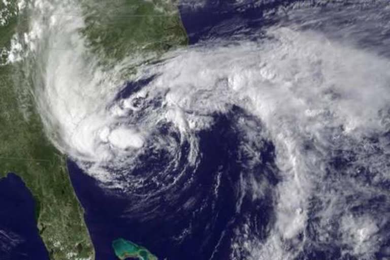
Heavy to very heavy rainfall is likely to occur at isolated places over coastal Tamil Nadu and Puducherry as a major cyclone will cross the states. It is also predicted that it will continue to move west-northwest and gaining latitude.

Representational Image
author img

By

Published : Apr 25, 2019, 4:51 PM IST

New Delhi: The India Meteorological Department (IMD) on Thursday said that after gaining more strength, the cyclonic circulation has finally induced a low-pressure area. The system is formed over Equatorial Indian Ocean and adjoining the southeast Bay of Bengal.

The organisation also predicted that it will continue to move west-northwest and gaining latitude.

Read | Tum se na ho payega: Cong to Modi for not addressing media

"A trough of low at mean sea level lies over the Equatorial Indian Ocean and adjoining the southeast Bay of Bengal with a cyclonic circulation aloft extending up to 3.1 km above mean sea level. Under its influence, a low-pressure area is very likely to develop over the Equatorial Indian Ocean and adjoining central parts of the South Bay of Bengal to the southeast of Sri Lanka by Thursday (April 25)," IMD stated in its advisory.

"It is very likely to intensify into a depression during the subsequent 36 hours. It is very likely to move northwestwards toward the Tamil Nadu coast along and off the east coast of Sri Lanka and is likely to intensify into a cyclonic storm during the subsequent 48 hours," the organisation added.

Read | Yasin Malik sent to judicial custody till May 24

Heavy to very heavy rainfall is likely to occur at isolated places over coastal Tamil Nadu and Puducherry. Thunderstorm activity will also intensify with gusty winds (50-60 kmph) and lightning.

Intro:Body:

Tamil nadu cyclone


Conclusion:
ETV Bharat Logo

Copyright © 2025 Ushodaya Enterprises Pvt. Ltd., All Rights Reserved.