ETV Bharat / bharat

Disaster alert: Survey identifies 6300 landslide zones in Uttarakhand

author img

By

Published : Aug 8, 2022, 11:52 AM IST

Updated : Aug 8, 2022, 3:30 PM IST

The landslide prone zones were revealed during an assessment by the Disaster Management Department of Uttarakhand in collaboration with World Bank as part of a project launched in 2018. Authorities are working on a project to install sensors to identify landslide zones beforehand and take remedial measures accordingly.

Disaster alert: Survey identifies 6300 landslide zones in Uttarakhand

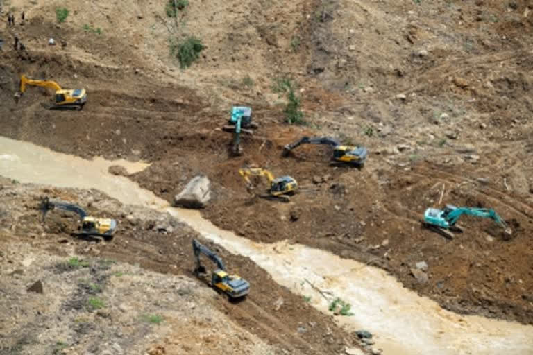
Dehradun: In an alarming development, authorities in Uttarakhand have identified as many as 6300 landslide-prone zones with the ruthless construction work in the Himalayan state being blamed. The landslide-prone zones were revealed during an assessment by the Disaster Management Department of Uttarakhand in collaboration with the World Bank as part of a disaster mitigation project launched in 2018.

It is believed that human activities regarding development works in the state are to blame for such a huge number of landslide zones in the state. Big projects worth thousands of crores are in progress in Uttarakhand, which is said to be taking a toll on the mountains leading to new landslide zones every now and then. From the all-weather road, Rishikesh-Karnprayag rail line and many small and big hydroelectric projects, Uttarakhand is currently witnessing unchecked construction.

Disaster alert: Survey identifies 6300 landslide zones in Uttarakhand

Scientists describe the Himalayas as the Newborn mountain range, which is undergoing rapid natural changes thereby making them unfit for the scale of construction currently going on in Uttarakhand. Landslide zones have been increasing in both the Garhwal and Kumaon divisions, with the latter witnessing an increase in such incidents. Large landslide areas are also visible up to Totaghati, Tindhara and Devprayag, Pithoragarh, Almora, Champawat as well as in other districts including Bageshwar.

Experts also partly blame the change in rainfall patterns for the landslides with some areas witnessing abnormally high rainfall. Environmentalist SP Sati said that in the last few days, the rain is suddenly marking a very high record in some areas posing a threat of landslides, especially in hilly areas. The Uttarakhand Disaster Management Department, in collaboration with the World Bank, is working on a project to install sensors to identify landslide zones beforehand and take remedial measures accordingly. The project is expected to reduce the danger to human life.

Also read: Uttarakhand: Landslide disrupts movement on local bridge

Last Updated : Aug 8, 2022, 3:30 PM IST
ETV Bharat Logo

Copyright © 2024 Ushodaya Enterprises Pvt. Ltd., All Rights Reserved.