ETV Bharat / bharat

Rajnath launches portal for defence land management system

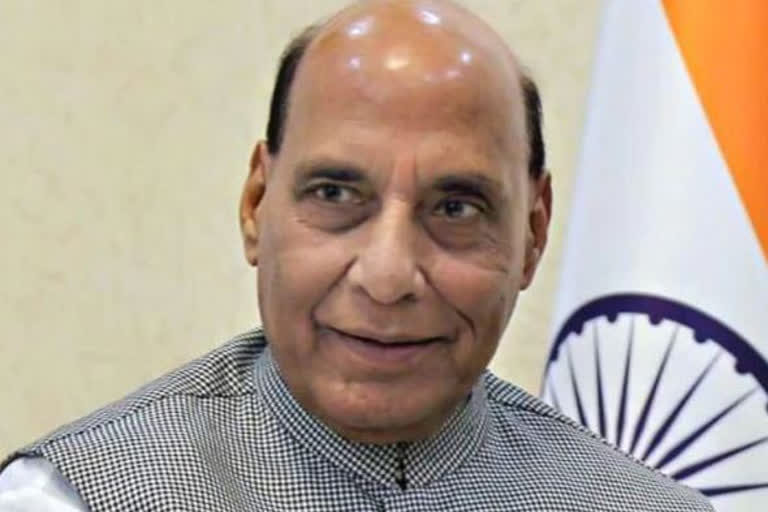
Defence Minister Rajnath Singh launched a portal for defence land management system on Thursday in the presence of officials from the Indian Army, DGDE and the DOD. The portal is expected to bring in greater speed, transparency and efficiency into the LMS of the DOD.

c
c
author img

By

Published : Nov 19, 2020, 9:06 PM IST

New Delhi: Defence Minister Rajnath Singh on Thursday launched a portal for defence land management system (LMS) that is expected to bring greater transparency, efficiency and speed in dealing with land management matters.

"As part of efforts to improve the overall management of defence land, for the first time an LMS has been developed by the Department of Defence (DOD) in conjunction with the Directorate General Defence Estates (DGDE) and Armed forces," said a statement by the Defence Ministry.

The portal was formally launched by Singh on Thursday in the presence of officials from the Indian Army, DGDE and the DOD, the statement noted.

The Intranet portal will digitise all requests of defence land management received by the DOD in the future, it mentioned.

"All data for cases since 2016 have already been captured and are available in the portal. Progressively, data of prior period will also be entered in the portal which is meant only for departmental use and it is not open for the public," the statement said.

"The portal is expected to bring in greater speed, transparency and efficiency into the LMS of the DOD," the statement noted.

With the integration of GIS (Geographic Information System) based tools, it will improve the decision-making process by removing duplication and unnecessary communication between various stakeholder groups involved in the decision-making process, the statement said.

"The technical support for this GIS-based system has been provided by BISAG (Bhaskaracharya Institute for Space Applications and Geoinformatics), India's premier organisation in GIS-based informatics," the statement said.

"The software, apart from capturing the textual details of all proposals relating to defence management, integrates these textual details with Raksha Bhoomi software as well as other relevant GIS-layers which include satellite imagery of the area, other amenities," it noted.

PTI
Also read: News reports of Army action in PoK fake: DGMO

New Delhi: Defence Minister Rajnath Singh on Thursday launched a portal for defence land management system (LMS) that is expected to bring greater transparency, efficiency and speed in dealing with land management matters.

"As part of efforts to improve the overall management of defence land, for the first time an LMS has been developed by the Department of Defence (DOD) in conjunction with the Directorate General Defence Estates (DGDE) and Armed forces," said a statement by the Defence Ministry.

The portal was formally launched by Singh on Thursday in the presence of officials from the Indian Army, DGDE and the DOD, the statement noted.

The Intranet portal will digitise all requests of defence land management received by the DOD in the future, it mentioned.

"All data for cases since 2016 have already been captured and are available in the portal. Progressively, data of prior period will also be entered in the portal which is meant only for departmental use and it is not open for the public," the statement said.

"The portal is expected to bring in greater speed, transparency and efficiency into the LMS of the DOD," the statement noted.

With the integration of GIS (Geographic Information System) based tools, it will improve the decision-making process by removing duplication and unnecessary communication between various stakeholder groups involved in the decision-making process, the statement said.

"The technical support for this GIS-based system has been provided by BISAG (Bhaskaracharya Institute for Space Applications and Geoinformatics), India's premier organisation in GIS-based informatics," the statement said.

"The software, apart from capturing the textual details of all proposals relating to defence management, integrates these textual details with Raksha Bhoomi software as well as other relevant GIS-layers which include satellite imagery of the area, other amenities," it noted.

PTI

Also read: News reports of Army action in PoK fake: DGMO

ETV Bharat Logo

Copyright © 2025 Ushodaya Enterprises Pvt. Ltd., All Rights Reserved.