ETV Bharat / bharat

Monsoon likely to continue in September: IMD

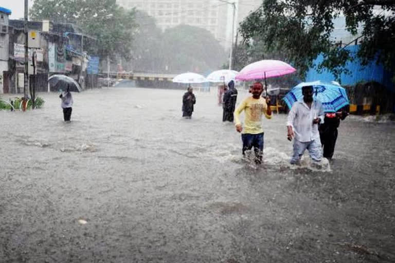
Predicting heavy rainfall in Kerala, Karnataka and Maharashtra, the India Meteorological Department stated that second week of September is likely to remain deficient of rain in most parts of the country. Rainfall is likely to resume after September 17.

Monsoon likely to continue in September: IMD
author img

By

Published : Sep 7, 2020, 10:50 PM IST

New Delhi: The India Meteorological Department on Monday informed that the country is likely to see normal to above normal rainfall in September. IMD stated that the second week of September is likely to remain deficient of rain in most parts of the country. The weather department has predicted that the rain is likely to resume after September 17.

Addressing a press conference, Director General of IMD, Mrutyunjay Mohapatra said, "We have indicated in our weekly weather update that withdrawal of monsoon may begin from western parts of Rajasthan in the week ending on September 18. But we are also expecting a low-pressure area to develop over the west-central Bay of Bengal at that time."

He further added, "We are expecting normal to above normal rain in Kerala, Karnataka and coastal areas of Maharashtra around and after September 17."

IMD has also accepted that the actual rainfall in July and August was outside its forecast because the spread of low-pressure areas (LPA) was uneven. However, the total quantum was lower than the last year as the average LPA of 13-14, India has experienced around 7 LPAs this year.

READ: UPA govt was criticised for being 'restrictive' in environmental nods: Manmohan

Mohapatra stated that the intra-seasonal variability of monsoon rain was high this year, as June witnessed excessive rain, July saw deficit and August again with excess rain with high margin.

M Rajeevan, Secretary of Ministry of Earth Sciences, said, "This year, the good monsoon should have helped farmers and the output must be very good. We don't have an assessment as to how it will impact the economy."

Earlier today, IMD informed that a low pressure lies over the East-central Arabian sea off Karnataka coast with the associated cyclonic circulation extending up to 3.1 km above sea level, which is likely to persist during the next 3-4 days. Under its influence, fairly widespread rainfall and a thunderstorm is likely to occur over Peninsular India during the next 4-5 days.

"The western end of monsoon trough at mean sea level lies near normal position and its eastern end lies north of its normal position. The Eastern end of monsoon trough is likely to be north of its normal position or along the foothills of Himalayas during next 5 days," it further stated.

READ: Javadekar chairs first ever webinar on Int'l Clean Air Day, calls for switch to EVs
ETV Bharat Logo

Copyright © 2024 Ushodaya Enterprises Pvt. Ltd., All Rights Reserved.