ETV Bharat / international

Second cyclone bears down on west Australian coast

A day after Cyclone Trevor hit a remote part of the Northern Territory coast, a second Cyclone Veronica settled just off the coast in the Pilbara region. The eye of the storm is expected to stay near the coast on Sunday and overnight.

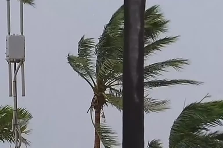
Heavy wind
author img

By

Published : Mar 24, 2019, 4:11 PM IST

Port Hedland: Cyclone Veronica has made landfall in Western Australia on the Pilbara coast.

Heavy wind

The core of the cyclone has hit land between Port Hedland and Karratha on Sunday with winds expected to be up to 220 kilometres (136.7 miles) per hour.

The eye of the storm is expected to stay near the coast on Sunday and overnight.

Also Read:Thousands rally against abortion in Argentina

More than 179 millimetres (7 inches) of rain have been recorded since Saturday afternoon in Port Hedland.

"This is a very, very slow-moving cyclone, slower than most that have been seen before. It's also a very, very large storm and one not to be underestimated. The advice is that it's coming in somewhere between Hedland and Karratha", said Premier of Western Australia Mark McGowan during a news conference in Perth on Sunday.

The Australian Bureau of Meteorology is expecting heavy rainfalls and destructive winds over the next 24 to 36 hours.

Also Read:​​​​​​​'May's Brexit deal could gain support if she quits'

There are also concerns over storm surges along the Pilbara coast, but not in Port Hedland.

A storm surge is a combination of high tide and strong winds which can create heavy flooding.

AP Video Delivery Log - 0600 GMT ENTERTAINMENT
Sunday, 24 March, 2019
Here is a roundup of Associated Press video content which has been sent to customers in the last 6 hours. These items are available to access now on Media Port and Video Hub. Please note, customers will receive stories only if subscribed to the relevant product.
AP-APTN-1737: ARCHIVE Keith Flint AP Clients Only 4202471
Service planned for Keith Flint of Prodigy fame
AP-APTN-1432: Ethiopia Emperor's Hair AP Clients Only 4202450
UK returns Emperor Tewodros's lock of hair to Ethiopia
AP-APTN-1242: US Soul of a Nation AP Clients Only 4202441
Jay-Z attends opening of 'Soul of a Nation: Art in the age of Black Power'
AP-APTN-1023: ARCHIVE R. Kelly AP Clients Only 4202429
R Kelly defense emerges, including saying accusers are lying
AP-APTN-1023: ARCHIVE Stormy Daniels AP Clients Only 4202432
Stormy Daniels protests Illinois tax on strip clubs
To opt-in to receive AP’s video updates (content alerts, outlooks, etc) via email, please register via http://discover.ap.org/Signup-for-APvideoalert
If you have a video coverage enquiry, please contact the Customer Desk (available 24/7) – customerdesk@ap.org
ETV Bharat Logo

Copyright © 2025 Ushodaya Enterprises Pvt. Ltd., All Rights Reserved.