ETV Bharat / bharat

Cyclonic Storm Jawad weakens into Deep depression: IMD

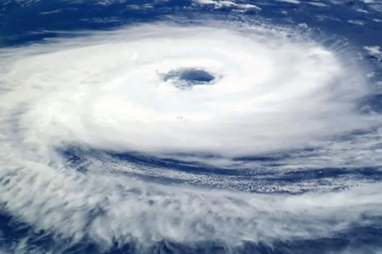
The India Meteorological Department informed that the cyclonic storm 'Jawad' has weakened into a deep depression before it reaches the coastal areas of Odisha- Andhra Pradesh.

Bengal administration heaves sigh of relief with minimal impact of Cyclone Jawad predicted
Cyclone Jawad
author img

By

Published : Dec 4, 2021, 10:59 PM IST

New Delhi: The Cyclonic storm 'Jawad' has weakened into a deep depression before it reaches the coastal areas of Odisha- Andhra Pradesh, informed India Meteorological Department.

The Cyclonic Storm ‘JAWAD’ has weakened into a Deep Depression at 1730 hrs IST, on Saturday, and is about 180 km east-southeast of Vishakhapatnam (Andhra Pradesh), 260 km south of Gopalpur (Odisha, 330 km south-southwest of Puri (Odisha) and 420 km south-southwest of Paradip (Odisha), IMD said.

It is likely to move nearly northwards and weaken into a Deep Depression during the next 06 hours and then move north-northeastwards along Odisha coast and will reach near Puri around 5th December noon. Subsequently, it is likely to weaken further and continue to move north northeastwards along Odisha coast towards West Bengal coast, it said.

Speaking to ETV Bharat, Director General of IMD, Mrutyunjay Mohapatra informed that squally winds speed reaching 45-55 kmph gusting to 65 kmph likely to prevail along and off North Andhra Pradesh-Odisha coasts during next 06 hours. "It will gradually increase becoming 55-65 gusting to 75 kmph till the morning of December 5 and squally winds speed reaching 50-60 kmph gusting to 70 kmph over northwest Bay of Bengal off Odisha coast from 5th December morning till afternoon. It would decrease gradually thereafter," he said.

Under its influence, light to moderate rainfall at many places with heavy to very heavy rainfall at isolated places likely over Gangetic West Bengal and north Odisha and heavy rainfall at Isolated places over south Assam and Meghalaya, Mizoram and Tripura, on Sunday. While on December 6, light to moderate rainfall at many places with heavy rainfall at isolated places likely over Assam, Meghalaya, Mizoram and Tripura.

When asked if the impact of Cyclone Jawad will also be decreased, Mohapatra replied, "we have downgraded the warning in terms of wind and rainfall. However, its impact as a Depression and a Deep Depression will be there at the coastal districts of West Bengal and Odisha."

However, fishermen are advised not to venture into westcentral and northwest Bay of Bengal and along and off north Andhra Pradesh-Odisha-West Bengal coasts on December 4-5.

With the IMD prediction, the West Bengal government also heaved a sigh of relief.

The administration has been issuing cautions at regular intervals asking people living in the coastal regions of West Bengal to keep away from venturing near the water banks or sea shores.

Ferry movement from all the ferry-docks in Hooghly district in South Bengal has also been cancelled on Saturdays and Sundays.

The South Eastern Railways section has cancelled a number of trains like Howrah- Ernakulam Express, Howrah-Puri Express and Howrah- Jashwantpur Express.

ETV Bharat Logo

Copyright © 2025 Ushodaya Enterprises Pvt. Ltd., All Rights Reserved.