ETV Bharat / state

IMD’s J-K Forecasting Comes Under Scanner Over 'Inaccuracy', Leaves Administration, People Scrambling

J-K experienced an unexpected heavy bout of snowfall without a significant forecast warning, disrupting essential services and taking the administration by surprise.

IMD’s J-K Forecasting Comes Under Scanner Over Inaccuracy, Leaves Administration, People Scrambling
Jammu and Kashmir weather (ETV Bharat)
author img

By Moazum Mohammad

Published : Dec 31, 2024, 10:10 PM IST

Updated : Dec 31, 2024, 10:59 PM IST

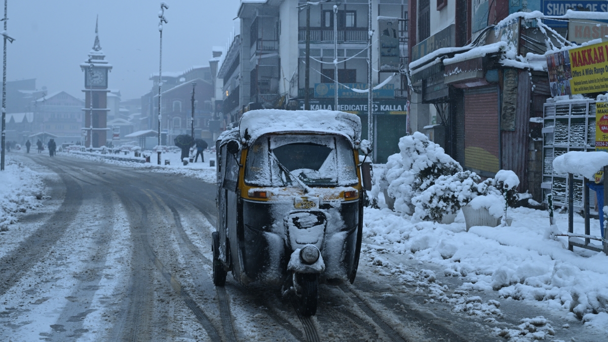
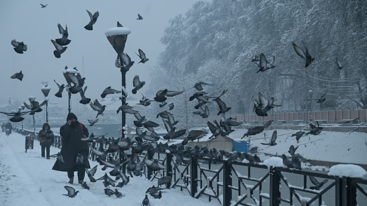
Srinagar: Last week, Jammu and Kashmir came to a standstill due to an unexpected heavy bout of snowfall, throwing life out of gear and disrupting surface and aerial traffic. This extreme weather event occurred without a significant forecast warning, disrupting essential services and taking the administration as well as people by surprise.

But the purported failure of the Indian Meteorological Department (IMD) to predict the event has ‘shocked’ Dr Mukhtar Ahmad, who is himself accepting the inaccuracy. Heading Meteorological Centre at Srinagar, Dr Mukhtar Ahmad attributed the lack of accurate forecasting to the ‘limitations’ and ‘error’ of weather models.

Jammu and Kashmir weather (ETV Bharat)

The IMD relies on two primary weather models—the Global Forecasting System (GFS) and the European Centre for Medium-Range Weather Forecasts (ECMWF)—in addition to data from other observational systems. This includes three X-Band Doppler weather radars located in Srinagar, Jammu and Banihal. Forecasts are generated using these radar observations, data from surface observations, upper air readings and national and international satellite systems.

Despite these resources, Dr Ahmad described the snowfall as a ‘typical western disturbance’ that the models failed to detect. The rains and snow of the region are influenced by extratropical storms known as western disturbances (WDs) formed in the Mediterranean region. But over the years, studies suggest that WDs have declined by 45 per cent with a total of 600 WD cases observed from November to April between 1980-2019.
IMD’s J-K Forecasting Comes Under Scanner Over Inaccuracy, Leaves Administration, People Scrambling
J-K covered with a sheet of snow (ETV Bharat)

“Not only me but many scientists at IMD were surprised as none could forecast the snow. It was nature’s blessing because all weather models failed to capture it and instead predicted minimal precipitation over the Valley,” he said. The MeT department classifies snowfall depth into light (up to 10.4 cm), moderate (10.5 to 64.4 cm) and heavy (64.5 to 115.5 cm).

“I was shocked over the moderate snow in Srinagar and Jammu and heavy snowfall in south Kashmir and couldn’t sleep,” Dr Ahmad added. The weather models had predicted an interaction between easterly and westerly winds over Punjab and Haryana, resulting in rain in those regions, with minimal impact on Jammu. But this was not the case.

The Valley was blanketed with moderate to heavy snowfall with south Kashmir draped under 2 feet of snow, blocking National Highway 44. This affected hundreds of travellers on the treacherous mountainous highway leaving them stranded in cold. A former IMD weather specialist in the Himalayan region argued that the models did indicate snow and blamed the inaccuracy to the interpretation of weather experts.

The IMD forecast is based on mathematical models using supercomputers, he said but needs expert interpretation for value addition and accuracy.

“The models were indicating the southwesterly winds and moisture incursion and it could be a matter of some interpretation. The wind pattern was indicating the moisture coming from the Arabian Sea, and normally this is the time when the Himalayas sometimes do get moderate to heavy Precipitation,” he said.

But Dr Shakeel Romshoo, an expert in glaciology, hydrology and climate change, pointed out the IMD models are not fit for the Jammu and Kashmir region. Featured among top global scientists by Stanford University, he explained that IMD forecasting systems are optimised for tropical monsoonal systems and plains-based terrain.

“Hence these models often fail to adequately resolve the intricate topography of J-K including its mountains, valleys and localised microclimates. This is a major reason why weather forecasts in Kashmir frequently go awry, especially during critical periods such as snowfall events,” said Prof Romshoo, who is the Vice Chancellor of the Islamic University of Science and Technology (IUST).

He suggested the development of a J&K-specific weather forecasting model that can account for the unique interplay of westerlies, topography and microclimates. “To enhance weather forecasting accuracy in Kashmir, the IMD should consider implementing the J&K-specific WRF model at a high resolution of 3 km (instead of using forecasts from the country-level prediction model).

Additionally, there is a pressing need to expand the network of weather monitoring stations, particularly in high-altitude and remote areas, to provide more reliable initial conditions for forecasting models. We should install more Doppler radar systems, automatic weather stations (AWS), and snow gauges to enable comprehensive real-time data collection,” he added.

Now, ahead of two western disturbances expected in early January, a senior government official said the MeT Centre has alerted the administration, prompting them to ready men and machinery.

Coincidentally, J&K Chief Minister Omar Abdullah, who cancelled his engagements in Jammu to stay in Srinagar and oversee winter preparedness, remains in the Valley to minimize the impact of snowfall on residents.

Last Updated : Dec 31, 2024, 10:59 PM IST
ETV Bharat Logo

Copyright © 2025 Ushodaya Enterprises Pvt. Ltd., All Rights Reserved.