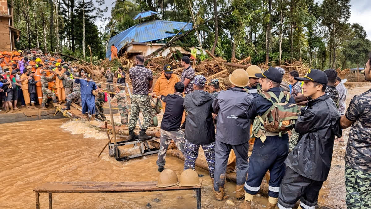
Hyderabad: As the BJP led NDA government at the Centre and the opposition trade barbs over the early warning weather system over the tragic landslides in Kerala's Wayanad, here is how Hong Kong, which is particularly vulnerable to landslides due to its hilly topography, has evolved its landslide warning system to deal with the disaster and minimise loss of life and property.
The City Of Mountains
Hong Kong is particularly vulnerable to landslides because of its hilly topographical setting –60% of land in the city is mountainous– and very dense population.
Between the 1950s and 1970s, Hong Kong experienced rapid economic growth and its population almost doubled. Many people lived in houses and squatter huts built on steep hillsides.
This combination of urban development and the city's hilly terrain led to a high risk from landslides. But warnings for landslides didn't exist, and a number of severe and catastrophic landslides in the 1970s resulted in great loss of life and damage to properties.
The Deadly Year Of Landslides
1972 was a particularly deadly year, with 156 people killed. The deadly landslides of 1972 triggered the establishment of Hong Kong's Geotechnical Engineering Office (GEO), still one of the most active government-led landslide risk reduction and slope safety systems globally.
Since the 1970s, the city has been pioneering in its approach to landslide risk mitigation. It was the first to design and operate a territorial landslide early warning system, introduced in 1977 to alert the city of when there was a high probability of rainfall-induced slope failures.
According to a BBC news report, Deaths from landslides have dropped substantially since the mid 1980s, and Hong Kong has not seen a single landslide fatality since 2008 till 2022 February.
The system has since inspired other landslide early warning systems around the world, including in Brazil, San Francisco, Norway and Japan.
ABOUT THE LANDSLIDE EARLY WARNING SYSTEM OF HONG KONG
The Geotechnical Engineering Office (GEO) and the Hong Kong Observatory (HKO) jointly operate the Landslip Warning System to alert the public to the landslide danger during periods of heavy rainfall.
Most landslides in Hong Kong are caused by heavy rainfall. By using a combination of real-time rainfall data and rainfall forecasts from the HKO, and based on the GEO’s study on the rainfall-landslides relationship, the GEO is able to identify instances when the landslide danger is high and when it would be appropriate to issue the Landslip Warning through the media.
The purpose of the Landslip Warning is to alert the public to reduce their exposure to possible danger from landslides.
The GEO operates an extensive network of automatic raingauges, which collects real-time rainfall data to support the operation of the Landslip Warning System. The network has been continuously enhanced and upgraded, to improve coverage and reliability, over the years since its establishment in 1984. The current network comprises about 90 raingauges located throughout Hong Kong.
Each GEO raingauge station consists of a tipping bucket rainfall measuring unit and a data logger powered by solar energy. Real-time rainfall data of the GEO raingauges are transmitted to the cloud servers via mobile phone networks at 1-minute intervals. Additional rainfall data from automatic raingauges operated by the HKO and the Drainage Services Department are also used in the Landslip Warning System.
THE WORKING OF LANDSLIDE WARNING SYSTEM
The issuing of the Landslip Warning also triggers an emergency system within government departments, which mobilizes staff and other resources to deal with landslide incidents.
When the Landslip Warning is issued, local radio and television stations are notified and requested to broadcast the Warning to the public at regular intervals, together with advice on
the precautions that should be taken by the general public.
The Hong Kong Slope Safety Website (http://hkss.cedd.gov.hk), the HKO’s MyObservatory mobile application and the GEO Facebook page (https://www.facebook.com/hkss.geo) also publish the warning message and the number of landslide incidents reported to the GEO at regular interval.
When the Landslip Warning is in force, the public should keep away from slopes.
People should cancel non-essential appointments and stay at home or in a safe shelter, and pay attention to news of weather and other warnings. For residents close to slopes, stay in rooms on higher floors and/or furthest away from slopes. People should keep vigilant and watch out for signs of landslide danger.
Pedestrians should stay away from slopes and motorists should avoid using roads with landslip warning signs. Otherwise, one should drive through with safe speed and do not stop unnecessarily. If people have been notified by rescuers to evacuate, or if people believe that their home could be endangered by landslide risks, they should leave immediately if
condition permits. They should escape by using an exit away from slopes and stay temporarily at a safe shelter (e.g. temporary shelter provided by the District Offices or voluntary agencies).


