ETV Bharat / bharat

Satellite Monitoring System to Help Farmers to Use Accurate Amount of Urea

Prof. Vinay Sehgal, Principal Scientist, ICAR-Indian Agriculture Research Institute, PUSA has said that satellite monitoring system will help the agrarians to use accurate amount of urea. Reports ETV Bharat's Chanchal Mukherjee

A satellite monitoring system will help farmers to use accurate amount of urea
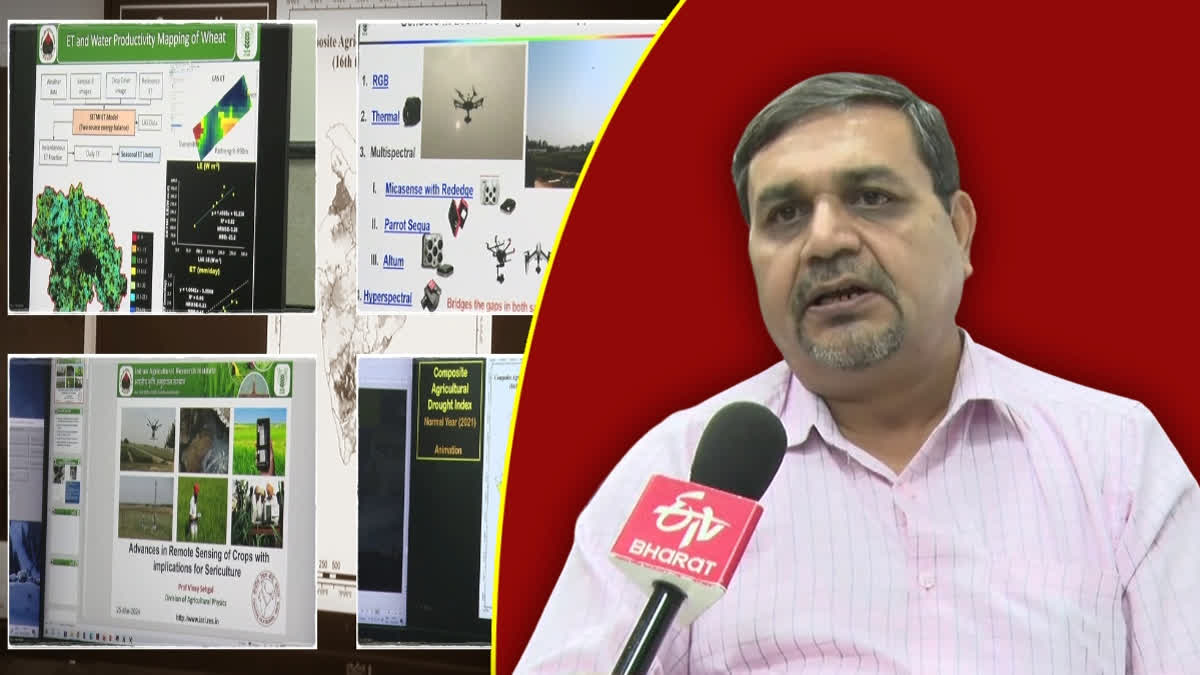
Prof. Vinay Sehgal speaks to ETV Bharat about the satellite monitoring system which will help farmers to use accurate amount of urea (ETV Bharat)
author img

By ETV Bharat English Team

Published : May 9, 2024, 10:17 PM IST

Updated : May 9, 2024, 10:25 PM IST

Prof. Vinay Sehgal speaks to ETV Bharat about the satellite monitoring system which will help farmers to use accurate amount of urea (ETV Bharat)

New Delhi: The satellite monitoring system will help the farmers to use accurate amount of urea in fields as per requirement of the soil that will reduce global warming issue, an official said on Thursday.

Talking about the satellite monitoring system on farm fields, Prof. Vinay Sehgal, Principal Scientist, ICAR-Indian Agriculture Research Institute, PUSA, told ETV Bharat, "We have developed a model through which we can monitor a particular agricultural land and access how much urea can be used in the field and when."

"Through satellite monitoring system, we get data of the field and inform the farmer how much urea can be used in the land and what is the right time for spraying it,” added Sehgal.

In addition, this system will be helping to reduce groundwater pollution by using less urea which will improve the environment, Sehgal said.

Pointing out the impact of irrational use of urea in agricultural land, he said excess urea leaves a negative footprint in the ground water and environment. "But the farmers will get benefits by a real-time satellite monitoring system in which fertility of the soil and actual requirement of urea for crops will provide proper growth of the crops," added Sehgal.

"We have conducted several experiments of satellite monitoring systems in our fields. In fact, we have also done experiments in Haryana and Punjab with the help of farmers. We got positive results of the experiments in which our efficiencies have increased without using 20-30 percent fertilizers,” Sehgal said.

Besides this, satellite remote sensing systems help in crop planning management. "Using this system, we can easily receive information about which area and soil is suitable for sowing which particular type of crop to grow,” the Principal Scientist noted.

In the remote sensing system, ICAR receives images from Indian and foreign satellites round the clock and monitors the data related to agriculture and weather. “We have a proper set up to monitor satellite images to get better results. One an average, we receive images of 15-16 own satellites every day,” he asserted.

Last Updated : May 9, 2024, 10:25 PM IST
ETV Bharat Logo

Copyright © 2025 Ushodaya Enterprises Pvt. Ltd., All Rights Reserved.