National

ETV Bharat / state

Google Maps marks Kashmir's outlines as 'disputed' when seen from outside India

Google Maps shows Kashmir as part of India -- as long as you view it from within the borders of the country -- but for people outside the country, the outlines of the region are shown in dotted lines, suggesting it to be "disputed" territory. According to Google, it follows local legislation wherever local versions of Google Maps are available.

dfs
fds

By

Published : Feb 15, 2020, 4:54 PM IST

Washinton: Google Maps has redrawn the world's borders which look different depending upon where the user is viewing them from, with the popular search engine showing Kashmir's outlines as a dotted line acknowledging "dispute" when it is seen from outside India, a leading American daily has reported.

According to the Washington Post, "The borders on Google's online maps display Kashmir as fully under Indian control. Elsewhere, users see the region's snaking outlines as a dotted line, acknowledging the dispute".

From Pakistan, Kashmir appears disputed while from India, it appears as a part of India, the Post report said, adding that "Google Maps changes disputed borders based on what country you search from".

Responding to the Post report, a company spokesperson said, "Google has a consistent and global policy to depict disputed regions and features fairly, showing claims made by the disputed or claiming nations on its global domain.

Read: Google CEO calls for regulation of artificial intelligence

"This does not endorse or affirm the position taken by any side. Products that have been localised to the local domain, such as maps.google.co.in, depicts that country's position as per the mandate of the local laws".

"We're committed to providing our users with the richest, most up-to-date and accurate maps possible. We do border updates based on data from our providers as new or more accurate data becomes available from authoritative sources or geopolitical conditions change. As we did for the state of Telangana in 2014," the Google official told a news agency.
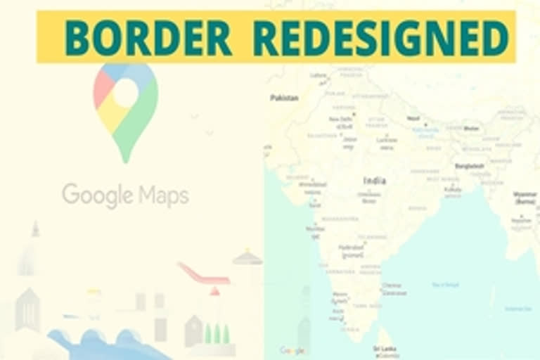
According to the Post report, "From Argentina to the United Kingdom to Iran, the world's borders look different depending on where you're viewing them from. That's because Google and other online mapmakers simply change them".

Google's corporate mission is "to organise the world's information", but it also bends it to its will, the Post report said, adding that with some 80 per cent market share in mobile maps and over a billion users, Google Maps has an outsize impact on people's perception of the world.

Headquartered in California, the company's decision-making on maps is often shrouded in secrecy, even to some of those who work to shape its digital atlases every day, the Post report said.

"It is influenced not just by history and local laws, but also the shifting whims of diplomats, policymakers and its own executives," the report quoted as saying people familiar with the matter on the condition of anonymity.

Launched 15 years ago, Google Maps has become one of the most-used and recognizable products for the search engine giant, it added.

(With inputs from IANS and PTI)

Also Read: Google to expand mix mode commute option to more cities across India

ABOUT THE AUTHOR

...view details