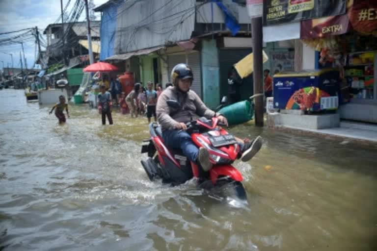
New Delhi: Experts in the field of flood mitigation have emphasized that drone technology should be leveraged and utilised to map disaster-prone areas, pre and post-disaster situations, to improve preparedness and response to fight floods in different States.
A pre-event programme of the 3rd Session of National Platform for Disaster Risk Reduction (NPDRR), 2023, held last month in Guwahati, has recommended that riverine erosion should be considered a disaster at the national level. This event was organised by the Assam State Disaster Management Authority (ASDMA) in association with the National Disaster Management Authority (NDMA) and National Institute of Disaster Management (NIDM) and in collaboration with the Central Water Commission (CWC), Ministry of Jal Shakti, Sphere India, Rural Volunteer Centre and Ramakrishna Mission.
The two-day pre-event session based on the theme “Flood Preparedness and Response” further recommended building an interface between science and society, and recognizing the value of indigenous knowledge, community innovation, and a co-production of a knowledge system that integrates both indigenous and modern science. “Thus, local and community disaster knowledge systems can be brought in for advocacy and planning. Academia can play an integral role in facilitating the same,” it said.
It also recommended that there should be mechanisms to incorporate Community Feedback in planning which may be achieved through various communication with communities mechanisms including two-way communication with the community, leveraging existing information pathways and tools like toll-free helpline, multilocation audio and video conference, WhatsApp multimedia, podcast, and local cable TV network. Further, to promote social and behavioural change, it is recommended for the government to take ownership and lead the effort.
