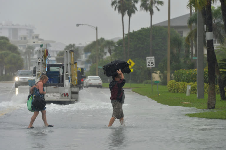
Florida: Tropical Storm Eta dumped torrents of blustery rain on Florida's west coast as it marched over the Gulf of Mexico toward an expected landfall north of the heavily populated Tampa Bay area.
The National Hurricane Center in Miami predicted Eta would slog ashore sometime Thursday and then move northeast across Florida as it loses strength. Eta briefly gained hurricane strength Wednesday morning, but forecasters said it later weakened to tropical storm status with maximum winds of 70 mph (110 kph).
There were no immediate reports of any injuries, serious damage or flooding in the Tampa Bay area as the storm skirted past that region Wednesday afternoon. Several tornado warnings were issued, but there were no reports of one touching down.
“We don't have any reports of flooding or street closures in Tampa at this point,” Mayor Jane Castor told reporters.
The storm had meandered in the Gulf of Mexico since crossing over South Florida on Sunday. At 10 p.m. Wednesday, Eta was 55 miles (88 kilometres) northwest of St. Petersburg, Florida, and moving northward at 10 mph (16 kph), the hurricane centre reported. Eta had maximum winds of 65 mph (104 kph).
Read:|Already flooded, South Florida feeling wrath of Eta
The Tampa Bay region is home to more than 3.5 million people across five coastal counties. No mandatory evacuations were ordered, but authorities opened shelters for anyone needing them. Local media reported only a handful of people showed up.
The forecast prompted school officials in Pasco and Pinellas counties, which includes St. Petersburg, to send students home early Wednesday. Both counties announced schools would remain closed Thursday, while neighbouring Hillsborough County planned to keep schools closed through Friday.
