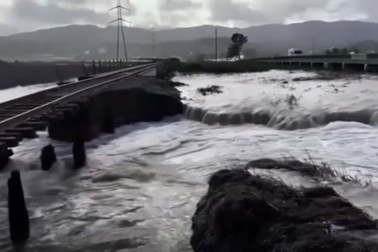
California: US scientists are using an arsenal of technology to fight floodwaters.
According to the scientists, 200 river gauges this week show some level of flooding in the Mississippi River basin, which drains the vast middle of the United States, risking the lives of 13 million people.
"There are over 200 million people that are under some elevated threat risk," said Ed Clark, director of the National Water Center in Tuscaloosa, Alabama, a flood forecasting hub.
With the help of supercomputers scientists are trying to gather information from 5 million river miles (8 million kilometers) of rivers and streams nationwide, including many smaller ones in remote areas.
Forecasters turn to array of technology to fight floodwaters Drones, Supercomputers and Sonars are scanning the underwater and are trying to predict where rivers may burst out of their banks. Till then emergency managers are keeping an eye on the flood waters through a technology which is developed at the University of Mississippi - a web-based system known as DSS-WISE.
Don Cline, Associate Director for Water Resources at the Geological Survey explains that there are , "about 8,200 stream gauges across the country. A stream gauge is really just a monitor of the height of the river."
"The discharge data comes into here, the National Water Center, into the weather service's river forecast centers across the country, and the data get used in the modeling ", he said.
Read more:Easter celebrations in Taxco
