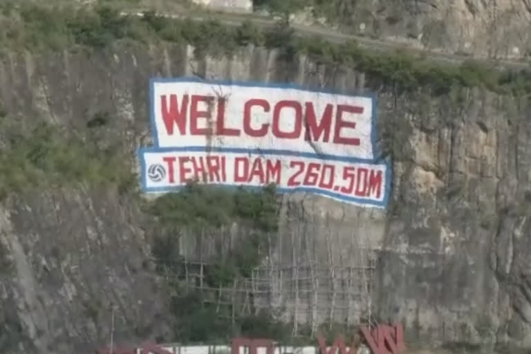
Tehri: The water level in the Tehri dam in Uttarakhand on Tuesday reached R.L. 830 metres exceeding the permissible limits of 825 metres. A rise in the water levels of the dam has led to several residential areas being submerged. This has led to a heightened tension among locals living in low lying villages. The Tehri Dam is the tallest dam in India and the second highest in Asia.
Uttarakhand: Rising water levels in Tehri dam a cause of concern It is a multi-purpose rock and earth-filled embankment dam on the Bhagirathi River near Tehri in the state. Aastha Path made by Tourism Department in Koti Colony, tents, footpaths, tourist routes and a shed built for passengers to rest has been drowned, which has caused the tourism department a property loss worth crores.
Also read:Uttarakhand: Cloudburst in Chamoli wreaks havoc, no casualties reported
Speaking about the recent development, Tehri Dam Project Executive Director Umesh Kumar Saxena said that all the assets that fall below R.L. 835 metres belong to the THDC. "Whoever builds the property below a level of R.L 835 meters is responsible for it, as it has already been decided that the water level of Tehri Lake will be filled up to 830 RL meters sooner or later," Saxena said.
It is pertinent to note, that the matter of displacement of 415 families affected by Tehri Lake is still pending. Recently, a meeting was also held to discuss the issue in which the Energy Minister of the Government of India, Cabinet Minister Satpal Maharaj, Energy Secretary, Tehri District Magistrate Eva Ashish Srivastava and officials of THDC had participated.
Also read:Gangotri Highway closed due to heavy rain, landslide in Uttarkashi
