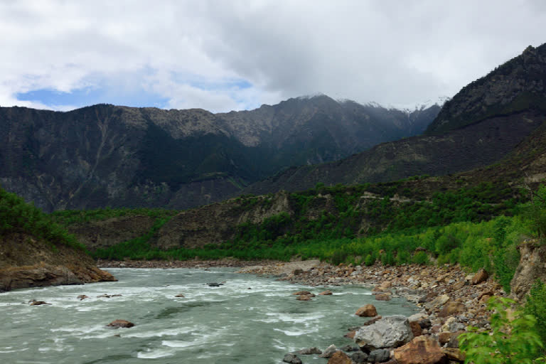
New Delhi: A massive landslide that may have displaced about 100 million ton of ice, rocks and debris has occurred on the Yarlung Tsangpo river which flows as the Brahmaputra river in India’s Assam, several global experts who track landslides have concluded.
Using satellite imagery, several experts have concurred with the incident taking place in one of the world’s most geologically dynamic spots. Major landslides, usually after earthquakes, have taken place in the same area on the Tsangpo in 2017 and 2018.
The landslide was first detected by Professor Marten Geertsema from the University of Northern British Columbia and later confirmed by Prof Göran Ekström from Columbia University, Prof Dan Shugar from the University of Calgary and Prof Dave Petley from the University of Sheffield.
The incident is believed to have taken place anytime between March 13-28, 2021 and satellite pictures draw the strongest possibility of “some small hanging glaciers and likely rock material” that fell and dropped a mindboggling 3,900 metres from 6,600 metres to 2,700 metres right to the bottom of the Yarlung Tsangpo valley.
ALSO READ:Damming Tsangpo may be China’s ‘Holy Grail’ moment
While later pictures indicated that no blockage resulted after the nearly 4 km vertical fall of debris, the river water indicated extreme turbidity.
What makes the landslide very significant from the Indian standpoint is that China is planning to build mega-dams in the same region which is a zone of tremendous seismic instability. In the event of the dam collapse, there will be large-scale lower stream damage especially in Arunachal Pradesh and Assam.
This is besides the fact that the planned dams will be a gross violation of the internationally-accepted rights of lower riparian countries.
China’s top legislature has already approved the plan to harness electricity from the river on March 11, 2021, as part of the 14th Five-Year Plan (2021-25).
Much before making public the 14th Five-Year Plan document, ETV Bharat had already reported on China’s plan to dam the Tsangpo-Brahmaputra river in eastern Tibet to generate huge amounts of electricity. Two main sites have been identified for the mega-dams at Metok (Medog or Motuo) county and at Daduo (Daduquia) which are located very close to the border with India.
The river water is to be intercepted at about 3,000-metre altitude, led into tunnels to turbines at 850 metres (Motuo) and 560 metres (at Daduo). While the Metok dam is planned with a power generating capacity of 38,000 megawatts (MW), the Daduquia dam is to have a capacity of 43,800 MW. Just for perspective, the world's biggest ‘Three Gorges dam’, also in China, produces 18,600 MW.
China has already admitted that the power generated will also be used to supply electricity to Nepal and China's neighbouring countries.
ALSO READ:China will use Tsangpo river’s steep 2-km-drop to produce power
