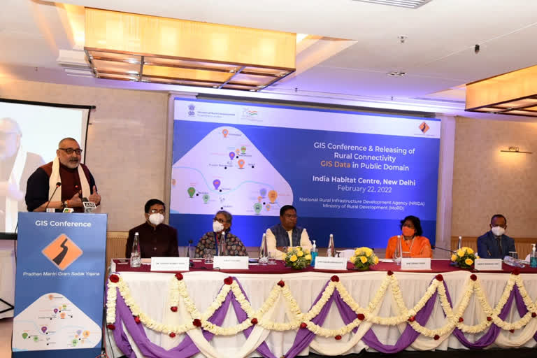
Delhi: Union Minister for Rural Development and Panchayati Raj Giriraj Singh launched Rural Connectivity GIS (Geographical Information System) data in public domain on Tuesday. As part of the implementation of PMGSY, GIS data for more than 800,000 rural facilities as points, more than 1 million habitations and 25,00,000 kilometres of rural roads have been collected and digitised using GIS platform developed for the scheme.
The collected rural connectivity GIS data will now be available to the public. On the occasion, National Rural Infrastructure Development (NRIDA), the nodal implementation agency of PMGSY scheme signed MoUs with three renowned GIS Firms and collaborated with Gati Shakti for releasing the rural connectivity GIS data in public domain. Gati Shakti is a national master plan and digital platform to plan and execute infrastructure projects in India to reduce logistics costs and enhance infrastructure.
