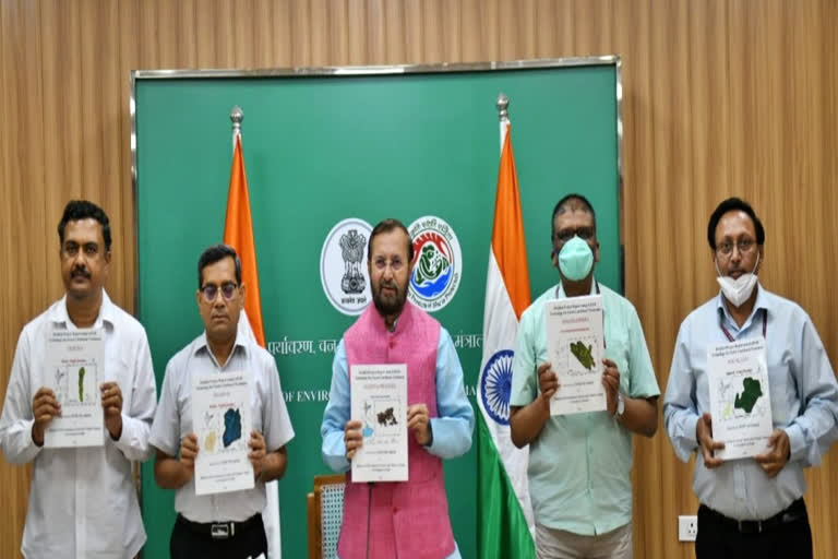
New Delhi: Minister for Environment, Forest and Climate Change, Prakash Javadekar on Friday released the Detailed Project Reports (DPRs) of LiDAR-based survey of forest areas in ten states through video conferencing. LiDAR technology will help augment water and fodder in jungles areas thereby reducing human-animal conflict, help in groundwater recharge, and help local communities. The ten states include Assam, Bihar, Chhatisgarh, Goa, Jharkhand, Madhya Pradesh, Maharashtra, Manipur, Nagaland, and Tripura.
According to a press statement from the Ministry of Environment, Forest and Climate Change, Javadekar informed that the project which was awarded to WAPCOS, a PSU under the aegis of Ministry of Jal Shakti, Government of India is a first of its kind and a unique experiment using LiDAR technology which will help augment water and fodder in jungles areas thereby reducing human-animal conflict, help in groundwater recharge, and help local communities. He also asked state forest departments to use CAMPA funds towards the implementation of these projects in right earnest and in accordance with the 'Ridge to Valley' approach of watershed management.
WAPCOS has prepared these DPR's using LiDAR technology in which the 3-D(three dimensional) DEM (Digital Elevation Model), imagery and layers of the project areas are used for recommending different types of Soil & Water conservation structures such as Anicut, Gabion, Gully Plug, Mini percolation tank, Percolation Tank, Field bund, Sunken pond, Farm pond etc. These structures will help in catching the rainwater and prevent stream runoff, which will help in recharging of Groundwater.
