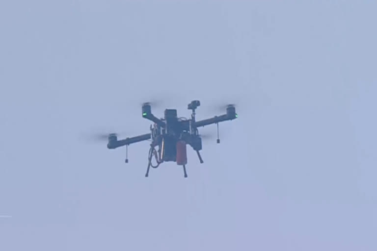
Gwalior:An interactive airspace map will be uploaded on a digital platform in the next two days with red, yellow and green zones earmarked on it, indicating go and no-go areas for operating drones, Union Minister for Civil Aviation Jyotiraditya Scindia said on Thursday, a month after the Centre unveiled a new policy for unmanned aerial vehicles.
The airspace map has been prepared after consultation with state governments, he said.
“In the coming two days, an interactive airspace map for the entire country will be uploaded having red, yellow and green areas for flying drones. In the red space, no drones will be allowed to fly, while in the yellow one, they will fly with permission (from authorities). In the green space, no permission will be required at all for flying drones,” Scindia told reporters here.
Scindia arrived in Gwalior, his home turf, on Wednesday for the first time after being inducted in the Union cabinet in July and was accorded a grand welcome by people.
“We have prepared this airspace map in consultation with all state governments. There will be a Digital Sky Platform on it, which means there will be no (role of) the Directorate General of Civil Aviation (DGCA)," the minister said.
“Permission (for operating drones) will be granted by the Digital Sky Platform. Those seeking it will have to enter the entire flight path. Within five seconds, permission or lack of it will be known," Scindia said.
Soon after getting permission, people can fly their drones, he said.
Citing an example from Telangana, Scindia said two days back coronavirus vaccines were transported by a drone to a remote area where nurses, doctors and beneficiaries were already present for inoculation.
Also Read:Centre to procure 200 drones to expedite land mapping
“The moment it landed at the designated place, nurses recorded the number of vaccines received in the inventory and soon after jabs were administered to people,” he said.
