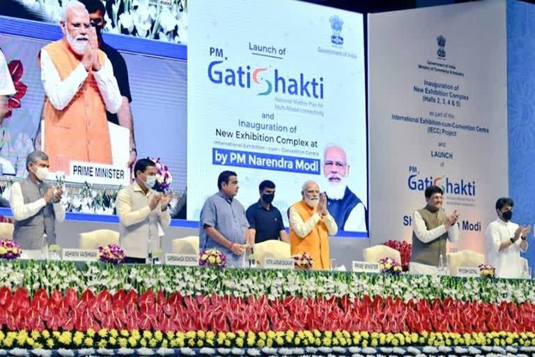
New Delhi: Prime Minister Modi has often blamed the lack of coordinated effort between different ministries and departments for the sorry state of India’s infrastructure which will change with the launch PM GatiShakti portal.
According to official sources, departmental silos, where each department was working in isolation, will be broken down to plan, conceptualise and execute infrastructure projects, particularly the transportation infrastructure which includes highways, railways, inland waterways, seaports, airports, and warehouses among others in a holistic manner.
Fresh approach
Officials said the entire approach, right from the planning to the execution of transportation projects will be done in coordination with all relevant agencies so that each agency would be fully aware of the plans of other agencies.
"Change in Management approach will help in improving ease of doing business, faster and efficient execution of projects, avoid delays and cost overruns and also result in reducing logistics costs," they said.
What is PM GatiShakti?
At the heart of PM GatiShakti project is a map developed by Bhaskaracharya National Institute for Space Applications and Geoinformatics (BISAG-N) which has 200 layers of infrastructure and resource maps for initial planning of the projects.
According to officials, GatiShakti is a transformational, analytical and decision support governance tool that will help in holistic project planning.
PM GatiShakti is a digital platform that will bring 16 ministries including rail and roadways together for integrated planning and coordinated implementation of infrastructure connectivity projects.
According to the officials, the Master Plan has been prepared that depicts different economic zones and the infrastructure linkages required to support them with an objective to holistically integrate all the multimodal connectivity projects. The exercise is aimed at removing missing gaps for seamless movement of people, goods and services.
The comprehensive map provides a bird’s eye view of infrastructure development with key layers based on completion timelines of various economic zones, infrastructure and utilities across the country.
Use of latest IT tools
The government plans to employ modern technology and the latest IT tools for coordinated planning of infrastructure such as a GIS-based Enterprise Resource Planning system with more than 200 layers for evidence-based decision-making.
These tools include planning tools for route planning, other tools that deal with the issues of land acquisition, permissions, issues of right of way, and congestion reduction. It will be dashboard-based periodic monitoring of progress with the use of the latest satellite imagery for visual understanding.
Officials said the dynamic mapping of all infrastructure projects with real-time update facility has been developed by Bhaskaracharya National Institute for Space Applications and Geoinformatics (BISAG-N).
It also uses satellite imagery made available by the ISRO and base maps from the Survey of India. These BISAG maps will be made available to the public so that the private sector can also participate in the joint planning and execution of the project.
The GatiShakti portal will provide a consolidated view and enable the review of all projects through a dashboard and Project management module of various organisations.
End of lopsided development, regional imbalances
According to officials, the PM GatiShakti portal and National Master Plan has been created to end the lopsided development and regional imbalance in infrastructure development in the country.
They said there was an urgent need to move away from the traditional approach to development which has created regional and sectoral imbalances and resulted in lopsided development.
The infrastructural development in various sectors was seldom in tandem with each other, thus creating a wide gap between infrastructure and imperatives of economic development.
