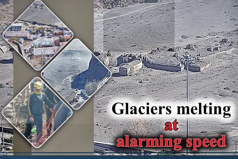
New Delhi: As a part of the Nanda Devi glacier broke off in Uttarakhand’s Chamoli district on Sunday, leading to massive floods, a study published in 2019 had warned that Himalayan glaciers have been melting twice as fast since the start of this century due to climate change.
The glacier collapse at Joshimath on Sunday led to a massive flood in the Dhauli Ganga river and caused large-scale devastation in the upper reaches of the ecologically fragile Himalayas.
The 2019 study, spanning 40 years of satellite observations across India, China, Nepal and Bhutan, indicates that climate change is eating the Himalayas' glaciers, the researchers said.
The study, published in the journal Science Advances in June 2019, shows that glaciers have been losing the equivalent of more than a vertical foot and half of the ice each year since 2000 -- double the amount of melting that took place from 1975 to 2000.
"This is the clearest picture yet of how fast Himalayan glaciers are melting over this time interval, and why," said Joshua Maurer, a PhD candidate at Columbia University in the US.
While not specifically calculated in the study, the glaciers may have lost as much as a quarter of their enormous mass over the last four decades, said Maurer, lead author of the study.
The study synthesised data from across the region, stretching from early satellite observations to the present.
The data indicates that the melting is consistent in time and space and that rising temperatures are to blame, the researchers said.
Temperatures vary from place to place, but from 2000 to 2016 they have averaged one degree Celsius higher than those from 1975 to 2000, they said.
Researchers analysed repeat satellite images of some 650 glaciers spanning 2,000 kilometres from west to east.
Also read:Uttarakhand Flash Floods: Over 150 labourers at Tapovan-Reni power project feared dead
Many of the 20th-century observations came from declassified photographic images taken by the US spy satellites.
They created an automated system to turn these into three dimensional (3D) models that could show the changing elevations of glaciers over time.
The researchers then compared these images with post-2000 optical data from more sophisticated satellites, which more directly convey elevation changes.
