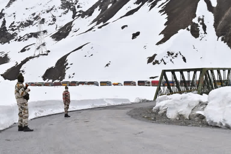
Hyderabad (Telangana):Besides having territorial disputes with India in the Himalayan region, China has recently intruded Ladakh. Tensions continue to escalate between the two nations as Chinese troops have crossed the Line of Actual Control (LAC). Indian and Chinese forces have been altercating in Pangong Tso, Demchok, Galwan Valley and Daulat Beg Oldi. Twenty Indian soldiers have died during the recent faceoff at Galwan Valley. Meanwhile, China claimed its ownership on the Galwan Valley in eastern Ladakh.
The Line of Actual Control (LAC) is a loose demarcation line of 3,440 kilometers that separates India-controlled territory from Chinese-controlled territory. Since the LAC has overlapping territories in many parts, China has resorted to illegal border claims. Frequent scuffles and faceoffs are a common sight here. The LAC is divided into three sectors: western, eastern and middle.
Western sector (from the northwest of Karakoram Pass to Demchok, 1,570 kilometers). Aksai Chin is the most disputed border area between India and China since 1950s. Its area is about 38,000 square kilometers. China has occupied this area in 1957 but India claims the invaded area is part of the Ladakh region. In 1962, China constructed a road cutting across Aksai Chin, connecting Tibet and Xinjiang. Demchok is a village and military encampment in the disputed Demchok sector between India and China. The Indian claimed border extends southeast of Demchok, where Indian and Chinese troops have regular face-offs.
Eastern sector (from Sikkim till the border with Myanmar, 1,325 kilometers). Most disputed territories are in Arunachal Pradesh. But China has claimed Arunachal Pradesh as part of its territory for decades. Asaphila is a 100 square kilometer of forested, mountainous area located in the Upper Subansiri Division.
During the 1962 Sino-Indian War, this area came under direct Chinese onslaught. Presently, this area is not under the occupation of any country. Longju, located in the Upper Subansiri Division is opposite the Chinese military posts in Migyitun, Tibet. In 1959, the first armed battle between China’s People’s Liberation Army (PLA) and Assam Rifles took place here.
India did not reoccupy Longju but set up a post at Maja, 10 kilometers south of Lonju. Namka Chu river valley is located about 60 kilometers ahead of Tawang. This is where the 1962 war began. Sumdorong Chu is a rivulet east of Namka Chu in the area of Kya Pho of Tawang district. The Chinese army occupied it in 1986. As a retaliation to China’s occupation, Indian army has occupied Yangste (part of Tawang district) in the latter half of 1986.
READ: Banning Chinese products will never affect Indian economy: Sudesh Verma
Middle sector (from Demchok till the border with Nepal, 545 kilometers) runs along Himachal Pradesh and Uttarakhand. This region consists of grazing grounds in Uttarakhand’s Chamoli district. This area too has a history of Chinese attacks.
