Hyderabad: India and Nepal seemed to be headed for a diplomatic showdown with Nepalese PM KP Sharma Oli declaring that the Kalapani area under India’s administrative control in Uttarakhand's Pithoragarh district belonged to Nepal.
This followed Oli government's endorsement of a new political map of Nepal which showed Kalapani, Limpiyadhura and Lipulekh as Nepal's territory.
However, the Nepal government had to defer its plan to move the constitutional amendment in Parliament to update the map after the main opposition Nepali Congress party sought time for more discussions on the issue. India, on its part, outrightly rejected the new map.
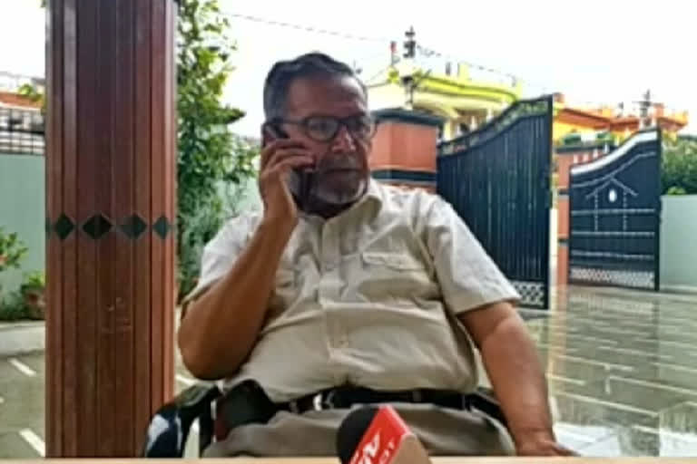
In an exclusive interview with ETV Bharat's Regional Editor Braj Mohan, former officer of Uttar Pradesh Board of Revenue, Surendra Singh Pangti, who is well versed with the region, spoke at length on the territorial disputes between India and Nepal.
Read:Amid India-Nepal friction, a ground report from Kalapani region
Pangti blamed the current Communist government in Nepal for giving rise to a rivalry between the two neighbours, who had perpetually been at good terms with each other. He claimed that there existed a political deadlock between the current government and its predecessor in Nepal and the issue has been raised to divert attention.
"The current government in Nepal being on good terms with China is also a reason for the recent fallout. The fact that Nepal is doing all this at the behest of China, cannot be denied," he said.
Speaking on Treaty of Sugauli, Pangti said that the agreement established the boundary line of Nepal which was signed on December 2, 1815, between the British East India Company and King of Nepal following the Anglo-Nepalese war. Following the treaty, a cease-fire was announced between the British and the King of Nepal, he added.
Read:Nepal postpones scheduled discussion on constitutional amendment to update map
