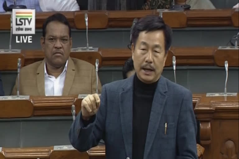
New Delhi: Anyone drawing the map of India is familiar with the two big fish-tail shaped contours in the northeastern corner of Arunachal Pradesh bordering China. But the Lok Sabha MP from East Arunachal says the map is wrong as the two fish-tail shaped areas are inside the McMahon Line but in India, these areas are drawn outside the Indian boundary. And that it is entirely India’s fault.
And what is interesting is that Indian army soldiers and Indo-Tibetan Border Police (ITBP) troops man the Border outposts (BOP) that are located in the two zones that lie outside the boundary of the India map but inside India according to the McMahon Line.
The BOPs manned by Indian troops in the two areas that are shown to be in China in the India map are Hadigra, Dakhru pass, Galai Takru pass and the Tatu pass.
It was the British who drew the line dividing India and China which is called the McMahon Line. It was named after Arthur Henry McMahon, a former British India foreign secretary (1911-1914), and drawn on the basis of alignment with the mountain crest in the region in accordance with the watershed principle.
Over time there has been a tacit acceptance by both India and China of the McMahon Line as the de facto boundary between the two Asian giants.
