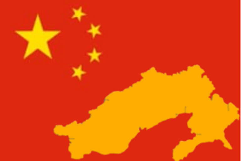
New Delhi:Underlining its relentless and unceasing territorial claim on Arunachal Pradesh, there are grand Chinese designs on harnessing the rich water resources of Northeast India’s biggest state.
A decade-old map purportedly drawn by Hydrochina Corporation, China’s biggest state-owned company that plans and executes the entire range of technical services in hydropower and water resources development, shows dam sites in areas that come under Arunachal Pradesh.
Marked as a project inventory map belonging to Hydrochina, the image, with Arunachal sites marked in Mandarin, also include sites in Taiwan. Both these areas are not under Chinese control.
The latest internet search shows that the company’s official website has taken out the map in question as the link leads to an ‘error’ page.
India and China are engaged in an escalating military face-off across eastern Ladakh and other border areas since April-end.
It has resulted in an unprecedented mobilization of troops and war equipment that shows no signs of easing amid the failure of most consultation mechanisms even as the two armies are preparing to dig in for the brutal winter that is just setting in.
Also Read:NE insurgents up ante as India, Myanmar talk to clean 'Wild East'
With water rights expected to be one of the biggest triggers for future wars, it is no wonder that China covets Arunachal Pradesh—one of the world’s most hydro-water-resource-rich regions.
While the McMahon Line (ML) demarcates Indian and Tibetan territory, China has refused to acknowledge the ML and instead has been referring to Arunachal Pradesh since 2006 as ‘southern Tibet’ based on historical ties of the NE state to Tibet.
