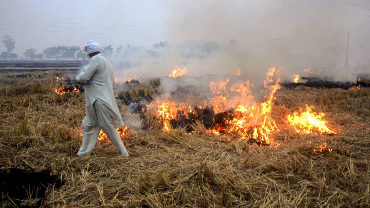
New Delhi: Stubble burning monitoring by using satellite remote sensing technology and the real-time mapping of active fire events helps fetch the actual data which proves useful for northern Indian states and several departments to deal with the issue and prepare framing policy on it.
"By using satellite data, scientists have been working on stubble burning issues to get details of areas, quantity, and periods of its occurrence," Prof Vinay Sehgal, principal scientist, ICAR-Indian Agriculture Research Institute, PUSA told ETV Bharat.
In the past several years, it has been seen that several states like Delhi, Haryana, Punjab, Uttar Pradesh, Rajasthan and Madhya Pradesh are engulfed with thick layers of smog with poor AQI during winters leading to health issues among people.
Citing the use of data, Sehgal said, "We use two types of satellite data. First, we monitor real-time stubble burning cases and analyse them at the block and district levels following which a bulletin is released and shared with stakeholders like the Commission for Air Quality Management, the Ministry of Agriculture, state agriculture departments, and district collectors. Based on the report, these stakeholders take action to curb firm fire incidents in their respective areas. In the second method, we do an exercise every fifth day to estimate the ratio of paddy in a field and how much stubble was burnt there. This second method helps us to know about the trends of stubble burning in the states".
