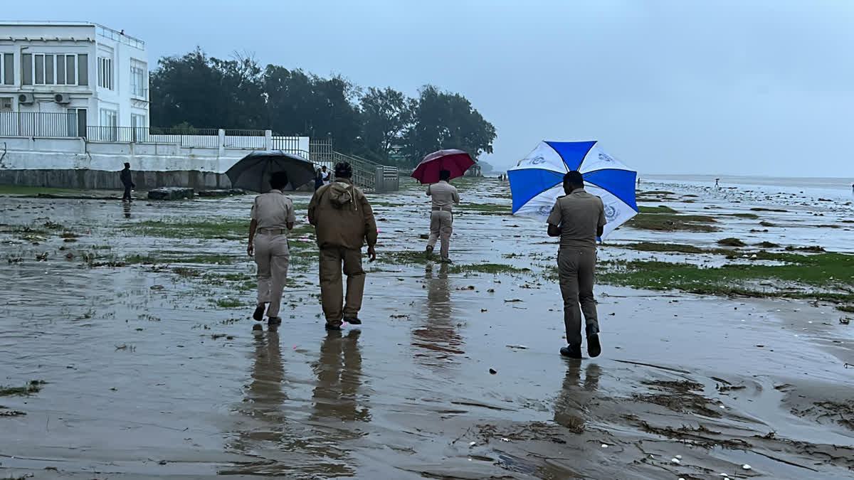
Bhubaneswar: Cyclone Dana made landfall between Dhamra and Bhitarkanika in Odisha early Friday, bringing heavy rainfall and strong winds across coastal regions. The cyclone, which initially had wind speeds reaching 110 kmph, weakened to a cyclonic storm by Friday morning, as per the India Meteorological Department (IMD).
Chandbali in Bhadrak district recorded the highest rainfall at 158.6 mm in the past 24 hours, while Rajkanika in Kendrapara district saw 156 mm. Other areas that recorded heavy rainfall included Basudevpur in Bhadrak and Oupada in Balasore, along with Marsaghai and Rajnagar in Kendrapara, each reporting over 100 mm. Bhadrak received 67.1 mm, while Kendrapara saw 85.9 mm. Around 52.6 mm was recorded in Balasore, 38.9 mm in Jajpur, and 35 mm in Mayurbhanj. Cuttack saw (26.5 mm), Khurda (23.7 mm), Nayagarh (23.1 mm), Angul (20.7 mm), Dhenkanal (17 mm), Puri (16.2 mm), and Jagatsinghpur (16 mm).
With continued downpours expected through Saturday morning, the IMD has issued a red alert for Bhadrak, Balasore, Keonjhar, and Mayurbhanj districts, advising residents to take immediate precautions. An orange warning has been given for Kendrapara, Cuttack, Jajpur, and Dhenkanal, while Jagatsinghpur, Puri, Khurda, Nayagarh, and Angul have been placed under a yellow warning.
Why Does It Rain Heavy After Cyclone
As per the Regional Specialised Meteorological Centre for Tropical Cyclones over North Indian Ocean (RSMC), intense rainfall typically falls on the left side of a cyclone, with the heaviest rainfall concentrated near its center. A secondary peak in rainfall is often observed about 2 degrees to the right of the storm’s core. Larger, slower-moving cyclones tend to produce more rainfall, while smaller, faster-moving systems generally result in less. Over 90% of cyclone-related rainfall typically occurs within a 200 km radius from the storm’s center.
"In the super cyclone, which crossed Odisha coast near Paradip on 29th October 1999, Paradip recorded 24 hrs cumulative rainfall of about 52 cm at 0830 IST of 30th October 1999, " the RSMC states in a research paper.
Dr. Arun Bapat, Research Seismologist and Earthquake Engineer, (Former Head, Earthquake Engineering Research at Central Water and Power Research Station, Pune) says the landfall of a cyclone is not totality of the cyclone process. It is one major part wherein the system looses large amount of energy. When the entire energy is dissipated then it is the closure or total stoppage.
"The cyclone is a huge conglomerate of particles, charged air, charged moisture etc as even of the landfall it continues , normally it is rain fall," he adds.
The IMD reported that Cyclone Dana, after making landfall, is likely to continue moving northwest across north Odisha, weakening into a deep depression over the next six hours.
Highest Rainfall:
• Chandbali (Bhadrak) recorded the highest rainfall with 158.6 mm.
• Rajkanika (Kendrapara) received 156 mm of rain.
• Other Significant Rainfall Totals:
• Basudevpur (Bhadrak): Over 100 mm
• Oupada (Balasore): Over 100 mm
• Marsaghai and Rajnagar (Kendrapara): Over 100 mm
District-Wise Rainfall (Last 24 Hours):
