National

ETV Bharat / opinion

El Nino-La Nina: How The Jugalbandhi of Oceans Impacts Our Climate Patterns

The 'Little Boy'(El Niño) and 'Little Girl'(La Niña), though have different pattern and behaviour, but certainly impact the climate patterns in many parts of the world. Writes CP Rajendran, adjunct professor at the National Institute of Advanced Studies, Bangalore.

The 'Little Boy'(El Niño) and 'Little Girl'(La Niña), though have different pattern and behaviour, but certainly impact the climate patterns in many parts of the world.
El Nino-La Nina

By ETV Bharat English Team

Published : Feb 10, 2024, 2:45 PM IST

Hyderabad:Going by the news media reports on climate change, there has been a growing interest in the oceanic phenomenon called ‘El Nino’ – an occasional warming phase of the surface waters that originates in the distant tropical eastern Pacific Ocean. Why would the people of India worry about something happening in a distant ocean, off the South American country of Peru? It can have a significant global impact on weather patterns and thus economies. The warming of the Pacific waters is intricately related to precipitation patterns in many parts of the world including the South Asian Monsoon - a lifeline for billions of people in India.

Like ‘Yin and Yang” – the Chinese concept of interconnected, but opposite forces,El Niño’ is only one end of the spectrum, and the other end is called ‘La Niña’, formed when the equatorial eastern Pacific Ocean builds up cooler surface waters.First noticed by the Peruvian fishers, they coined the terms El Niño and La Niña in Spanish, meaning “Little Boy’ and “Little Girl”. Scientists call this phenomenon the El Niño -Southern Oscillation – ENSO – cycle.

During normal times the trade winds or easterlies blow parallel to the equator from east to west forcing the warm water from the Pacific Ocean off South America to flow toward the Asian side. The trade winds help push the upper warm water away in this region facilitating the cold nutrient-rich water to rise from the bottom to keep the upwelling processes active - a process that helps the ocean life from microscopic plankton to fish to thrive. But during the El Niño phase, trade winds lose their strength pushing the warm water to the west coast of the Americas, while during La Niña, the trade winds gather strength. However, the fundamental processes that lead to the Pacific oscillation between warm and cold phases lie in the intricate interactions between the ocean and the atmosphere.

The phenomenon of southern oscillation was first discovered by Gilbert Thomas Walker, who was working as the director general of the meteorological observatories in India in 1904. He used his solid mathematical knowledge to develop correlation parameters of vast amounts of weather data from India and other parts of the world. He was the first to report the alternating oscillation pattern of atmospheric pressure between India and the Pacific Ocean and its relation to the variable temperature and rainfall patterns in the tropical regions including India, though no one gave much attention to his findings during those days. Walker was way ahead of his time.

The rediscovery of the so-called “Walker Circulation”, named after Gilbert Walker, was made possible in the 1960s with the help of satellite observations that established the fact that the ocean and atmosphere are indeed “coupled”, with implications for global climate as a part of a complicated feedback loop. These days advanced satellite technologies like the data collected by the Advanced Very High-Resolution Radiometer help us monitor the surface temperature anomalies of the oceans. We are now able to blend global rainfall data from several satellites.
It is not clear what is the starting point of the ENSO feedback loop. It is possible that when the trade winds slacken the sea surface temperature starts to warm up or cool in response to the strengthening of the winds. Be that as it may, the cyclical phenomena of temperature oscillation, after their formation in response to the waxing and waning of the trade winds typically last for a year, but sometimes extend for years and occur every two to seven years and extend far forming a long swath across the world. The previous year recorded unprecedented high temperatures globally and El Nino is believed to be a key driver.

A new study published in the science journal Geophysical Research Letters, however, shows that although natural variabilities like changes in solar heat have a major role in triggering El Nino, it is now found to be also influenced by human-induced global warming that requires “the input of anthropogenic greenhouse gases” and the “climate change tipping point may have been crossed in the 1970s”.

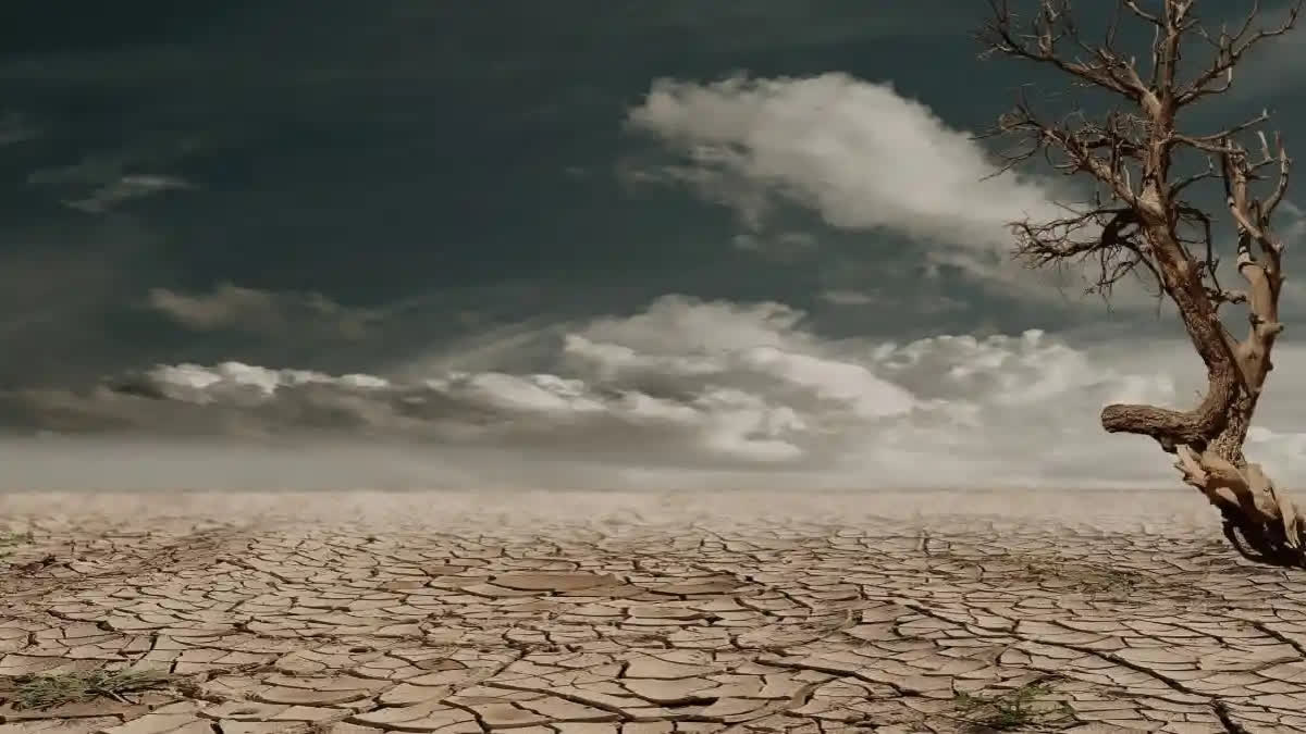
Now it is reported by the NOAA’s Climate Centre that the “Super Strong El Niño” cranked up unprecedented heat in the Pacific waters that recorded more than 2 degrees over what was normal and is about to take its final bow from the stage very soon - because of the strong El Nino impact, the last year proved to be the hottest year on record. India had undergone the worst hot period, and the driest August in 120 years, marked by an uneven distribution of rainfall with a 6% deficit in overall precipitation. At least 25% of the country is reported to be under drought conditions until December. With the ENSO expected to turn neutral by April 2024, how long will it take the other player of the jugalbandhi, La Nina to take on the centre stage?

In contrast to El Niño, the “cool cousin” La Niña when it becomes powerful will likely bring an increased amount of rainfall and cooler temperatures to India. The question is how powerful La Niña would be this time to make substantial changes in the weather patterns, so the arid areas that suffered the worst during El Nino could let out a sigh of relief. But that is only part of the story, and La Nina could turn out to be ‘rakshas’ or a destroyer sowing seeds of distress if it assumes too much power. A strong La Niña could end up generating untimely rainfall leading to massive floods destroying crops and property damage unless timely precautions are taken to contain the losses and sufficiently prepared to mitigate the potential hazards.

(Disclaimer: The opinions expressed here are those of the author)

Read More

  1. World Breached 1.5-Degree Limit for Entire Year for First Time: European Climate Agency
  2. Climate Crisis Alert: J&K Faces Driest and Warmest January in Over Four Decades
  3. Need torrents, not trickles of climate finance: UN climate chief Simon Stiell

For All Latest Updates

ABOUT THE AUTHOR

...view details