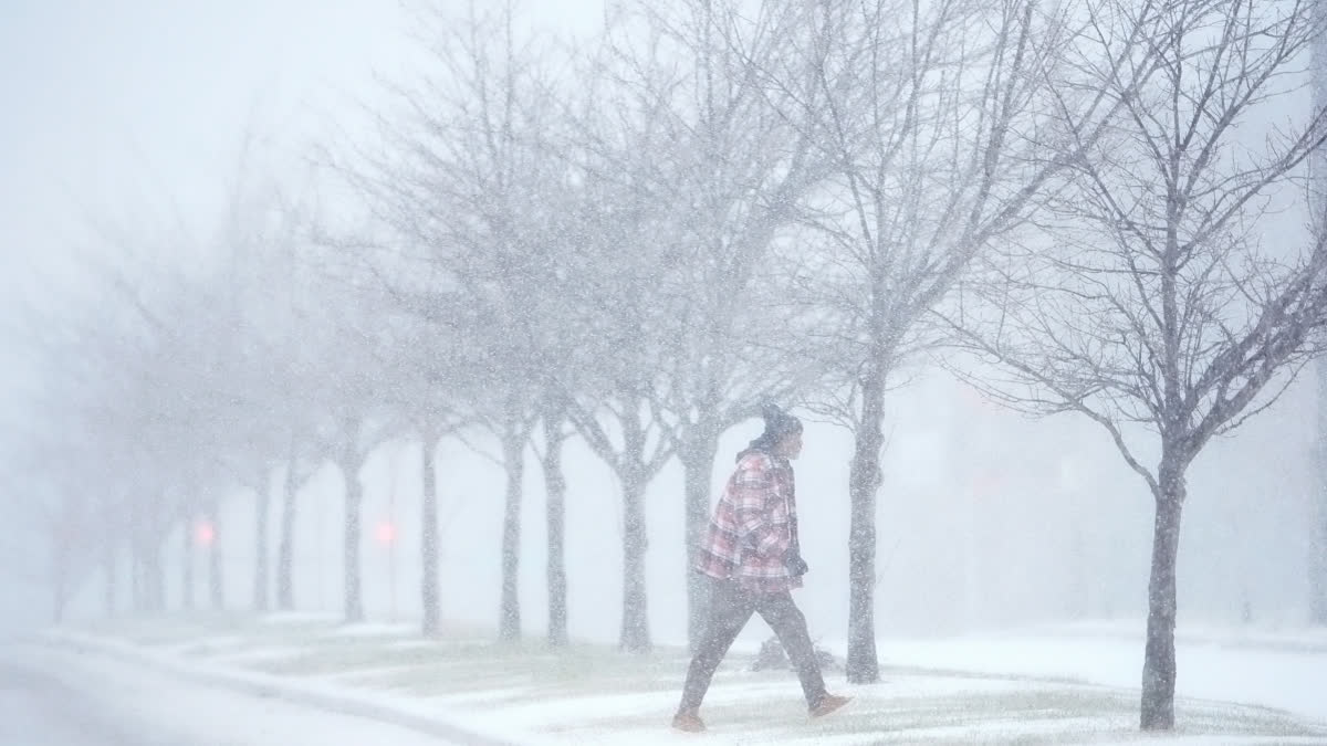
New Jersey:A blast of snow, ice, wind and plunging temperatures stirred up dangerous travel conditions in parts of the central U.S. on Sunday, as a disruptive winter storm brought the possibility of the heaviest snowfall in a decade to some areas.
Snow and ice blanketed major roadways in nearly all of Kansas, western Nebraska and parts of Indiana, where the state's National Guard was activated to help any motorists who were stuck.
At least 8 inches (20 centimetres) of snow were expected, particularly north of Interstate 70, as the National Weather Service issued winter storm warnings for Kansas and Missouri, where blizzard conditions brought wind gusts of up to 45 mph (72 kph). The warning extended to New Jersey for Monday and into early Tuesday.
“For locations in this region that receive the highest snow totals, it may be the heaviest snowfall in at least a decade,” the weather service said. Gary Wright wore a parka as he and his husband chipped away at a thick coating of ice on his SUV Sunday in a slippery apartment parking lot in Missouri.
Wright said he would work remotely for the University of Missouri-Columbia on Monday but wanted to scrape off his vehicle as an excuse to spend a little time in the snow. He's also in the market for boots for their two older dogs, who “won’t budge at all” when their paws hit the cold ground.
The polar vortex of ultra-cold air usually spins around the North Pole. People in the U.S., Europe and Asia experience intense cold when the vortex escapes and stretches south. Studies show the fast-warming Arctic is partly to blame for the increasing frequency of the polar vortex extending its icy grip.
Snow and ice in the forecast, and even possible tornadoes
In Indiana, snow fully covered portions of Interstate 64, Interstate 69 and U.S. Route 41, prompting Indiana State Police to plead with motorists to stay off the roads as ploughs worked to keep up with the pace of the precipitation.
“It’s snowing so hard, the snow ploughs go through and then within a half hour the roadways are completely covered again,” Sgt. Todd Ringle said.
Roughly 10 inches (25 centimetres) of snow had fallen in parts of Kansas, with snow and sleet totals predicted to top 14 inches (36 centimetres) for parts of that state and northern Missouri.
In Kentucky, Louisville recorded 7.7 inches (19.5 centimetres) of snow on Sunday, a new record for the date that shattered the previous mark of 3 inches (7.6 centimetres) set in 1910. Lexington, Kentucky, also set a snowfall record, with 5 inches (12.7 centimetres).
Parts of upstate New York saw 3 feet (0.9 meters) or more of snow from a lake effect event expected to last until late Sunday afternoon. The storm was forecast to move into the Ohio Valley and reach the Mid-Atlantic states later Sunday and Monday, with a hard freeze expected as far south as Florida.
Damaging winds brought down trees across the Deep South. The weather service issued tornado warnings Sunday in Arkansas, Louisiana and Mississippi.
Car wrecks proliferate as storm hits
Hundreds of car accidents were reported in Virginia, Indiana, Kansas and Kentucky, where a state trooper was treated for non-life-threatening injuries after his patrol car was hit on Interstate 65. At least 600 motorists were stranded in Missouri, the state's highway patrol said.
Highways in northeastern Kansas were closed due to “impassable” conditions, according to the state’s Transportation Department. The closures included roughly 220 miles (354 kilometres) of the state's main artery, Interstate 70, from the Missouri border into central Kansas.
Kentucky Gov. Andy Beshear, who declared a state emergency ahead of the storm, said state buildings would be closed Monday. “We see far too many wrecks out there for people that do not have to be on the roads, so I want to ask: Stay inside. Stay safe with your family," the governor said.
