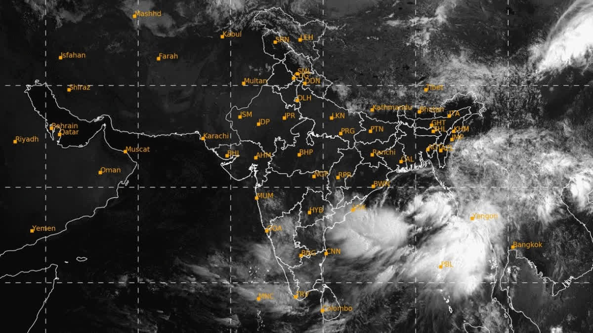
Kolkata (West Bengal): A deep depression over the Bay of Bengal is gradually gaining strength and is likely to concentrate into a cyclonic storm and then into a severe cyclonic storm, Remal, by late Saturday night, officials at the Regional Meteorological Centre in Kolkata said.
Cyclone Remal, in all likelihood, will gain more strength and make landfall on the night of May 26 near the Sunderbans, in between Sagar Islands of West Bengal and Khepupara in Bangladesh with wind speeds ranging between 110 to 120 km per hour, and with gusting of above 135 kmph, Met officials said.
The Kolkata Met Office has issued a 'Red alert' for the districts of North 24 Parganas and South 24 Parganas of West Bengal and a warning of extremely heavy rainfall in Kolkata and adjoining areas, including the coastal district of Purba Medinipur all through May 26 and 27.
Extreme heavy precipitation of over 200 mm may hit Kolkata, Howrah, Hooghly, Nadia and Purba Medinipur as well as northern Odisha and parts of the Northeast throughout May 26 and 27 due to the effects of cyclone Remal, the Met office said adding, around 100 mm of rains are expected to drench the districts of Paschim Medinipur and Purba Bardhaman of West Bengal, as well.
Director at the Regional Meteorological Centre, Kolkata, Somnath Dutta said, "Storm surge of up to 1.5 metres high is expected to hit low-lying areas of coastal West Bengal. There is a high possibility of inundation in low-lying areas at the time of the cyclonic storm's landfall. Fishermen have been strictly warned not to venture into the sea around the north of the Bay of Bengal till May 27. We will keep updating about the situation as it evolves."
